![[SSD Logo (new)]](http://hpsab8.wwb.noaa.gov/SAB/JPGs/ssdbase.jpg)
![[eruption icon]](http://hpsab8.wwb.noaa.gov/SAB/JPGs/souf_thumb.jpg)
Below, you will find the actual images used to determine the fire locations and size.
| GOES-10 Derived Infrared Ch. 2 (3.9 um) - Ch. 4 (10.9 um) | |
|---|---|
| 09:30 UTC Image 10/16/99 | 17:30 UTC Image 10/16/99 |
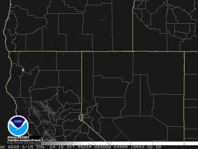 |
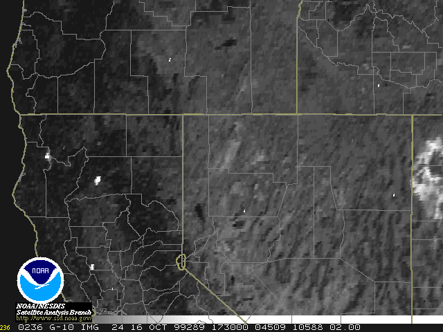 | Note the dramatic increase in "hotspots" from the 09:30 UTC to the 17:30 UTC image. View the loop (AVI) from 0800Z to 1730Z of these images. |
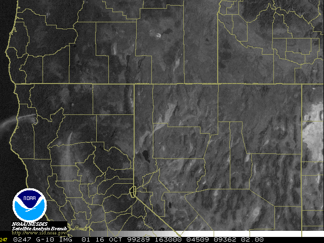
| GOES-10 Visible image from 16:30 UTC showing the plumes of dense smoke. |
Surface Plot at 1700Z for the same area (Note the extremely low dewpoints and 20 KT winds at Redding KRDD). |
 |
 |
View the loop (AVI) from 1500Z to 1630Z of the visible channel. |
|---|
| SAB Experimental Fire Analysis 10/16/99 | Visible "zoomed in" Image | Relief Map Credit: USGS |
Map of the 1200Z Upper Air Analysis Credit: Unisys |
 |
 |
 |
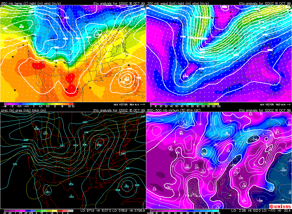 |
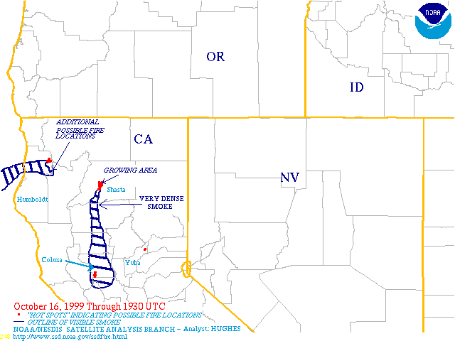
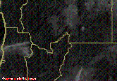
Note the smoke in the valleys of the Salmon Mountains in northeast Humboldt County .View an Animated GIF of the Visible Image and Relief Map to compare. Mt. Shasta, the white "dot" in the upper right in the Visible image, may be off from the Relief Map slightly due to the parallax correction. Also, note the 1200Z conditions (sharp 850 Mb ridge and extremely low RH over northern California) as seen in the last image. |
|---|


Webmaster@ssdnotes.wwb.noaa.gov Last revised: