
GOES EAST/WEST Aerosol/Smoke Product (GASP)
Dear Satellite AOD data users,
The current NOAA operational GOES EAST/WEST satellites are GOES-16/GOES-17.
- For real time GOES-16/17 Aerosol Optical Depth(AOD) data, please contact our data access manager at: PDA_GHS@noaa.gov
GOES-13 was replaced by GOES-16 on January 8th, 2018 and GOES-15 was replaced by GOES-17 on March 2nd, 2020
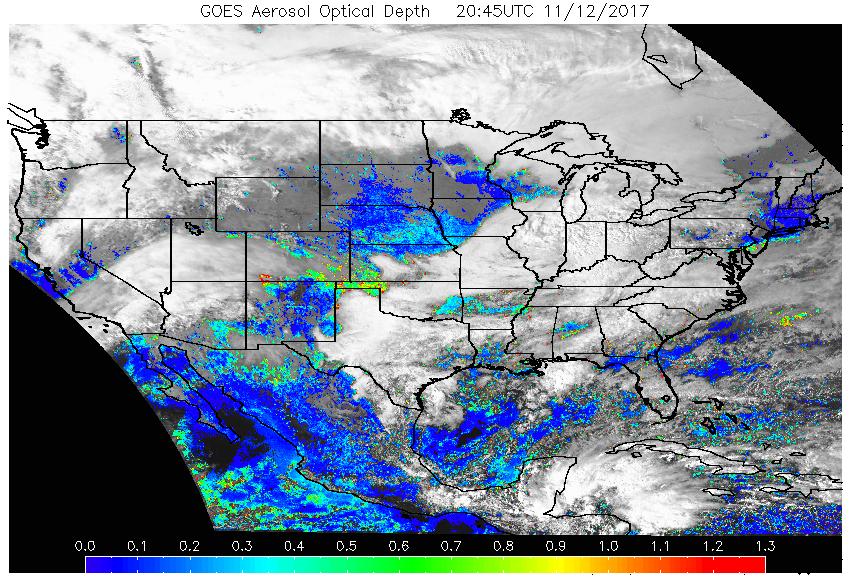
Sample GOES-13 AOD image |
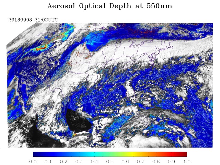
Sample GOES-16 AOD image |
| 
|

