
The WF-ABBA product was developed by Elaine Prins (NOAA/NESDIS/ORA) in collaboration with the Cooperative Institute for Meteorological Satellite Studies (CIMSS) at the University of Wisconsin. For details about the algorithm, users are referred to the Biomass Burning Monitoring web page at CIMSS.
The WF-ABBA system runs operationally at the Satellite Services Division. The product is run half-hourly upon receipt of GOES-East or West imagery. The algorithm uses multi-spectral GOES imagery (visible, 3.9 and 10.7 microns).
Users should note:
The OSDPD product is a reformatted version of the product available on the CIMSS website. The reformatting of the WF-ABBA product consists of removing the lowest probability fires (category 5), as validation at CIMSS has shown that many of the low possibility fires are not fires. The fields fire size and temperature have been removed as they are very rough estimates of the average instantaneous sub-pixel fire(s) size and temperature, and are not meant to be used for wildfire diagnosis. The header is simplified and the table is put into comma-delimited form so that it can be easily read into a Geographic Information System (GIS) as table data. Each fire is described by a single line, specifying longitude, latitude, 4 micron (channel 2) temperature, 11 micron (channel 4) temperature, ecosystem category, and a fire flag.
The ecosystem category (see table of definitions) is determined by the GLOBAL LAND COVER CHARACTERISTICS DATA BASE.
The fire flag is defined as:
The most recent WF-ABBA detects, as well as the other layers that make up the HMS Fire and Smoke Product, can best be viewed through our SSD Fire Web-GIS page.
Download most current fire files (available in ASCII, GIS and graphic formats).
This product is also available via a geospatial archive at the National Geophysical Data Center (NGDC).
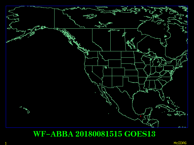
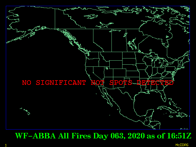
Here are plots of the latest GOES-East and West data we have processed and the composite of all the fires so far from today and all the fires from yesterday (both satellites). For the daily plots, the cutoff is 0 GMT (8 pm EDT). The red "X's" are hot spots that are flagged 0-4 and have been temporally filtered (as described above) to minimize false detects.


Contact Address: SSDFireTeam@noaa.gov