
 |
 |
|
|
Satellite Services Division receives MODIS fire products from NOAA's MODIS Near Real Time Processing System, run by it's sister division -- the Information Processing Division. The MODIS instrument flies onboard the NASA TERRA and AQUA satellite, and the fire algorithm was developed by the MODIS Fire and Thermal Anomalies team.
The fire product recieved by SSD is in large (~13mb) HDF files. We extract the fire positions and confidence values and place them into comma-delimited tables that it can be easily read into a Geographic Information System (GIS) as table data.
Users should note:
The most recent MODIS fire detects, as well as the other layers that make up the HMS Fire and Smoke Product, can best be viewed through our SSD Fire Web-GIS page.
Download most current fire files (available in ASCII, GIS and graphic formats).
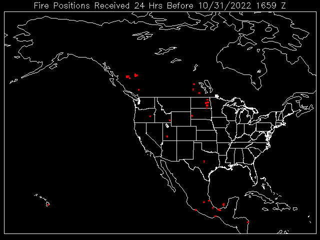
The recent fires identified by the MODIS fire product are shown below:
Contact Address: SSDFireTeam@noaa.gov
|
Contact Information: |
||
|
You are Here: http://www.ssd.noaa.gov/PS/FIRE/Layers/MODIS/modis.html
|