

|
Please Note:
NOAA/NESDIS will terminate Fire Detects from the Fire Identification, Mapping and Monitoring Algorithm (FIMMA)-AVHRR at 15 UTC on June 23, 2020. It is being replaced with Fire Detects from the VIIRS Active Fire Algorithm (VIIRS AF) products. Check back here for the new URL. |
The VIIRS Active Fire (AF) product is produced using data running in operational mode within NOAA Office of Satellite and Product Operations (OSPO). In collaboration with the University of Maryland Department of Geography, the Active Fires team, led by Dr. Ivan Csiszar , developed the fire detection algorithm (https://www.star.nesdis.noaa.gov/jpss/fires.php and http://viirsfire.geog.umd.edu/pages/products.php). This is an adaptation of the MODIS Collection 6 algorithm and uses Level 1 M-band data from the Visible Infrared Imaging Radiometer Suite (VIIRS) instrument on the Suomi National Polar-orbiting Partnership (SNPP) satellite to generate the VIIRS AF data. The Suomi NPP VIIRS instrument is a collaborative partnership between NASA and NOAA.
OSPO receives this data in large (~ 12mb) netcdf files. We extract the fire positions, confidence value, fire mask, brightness temperature, fire radiative power, and other metadata and place them in comma-delimited tables. These tables are input to the Hazardous Mapping System operated at the Satellite Analysis Branch (SAB), and used in the daily fire and smoke analysis.
Users should note:
Download most current fire files (available in ASCII, GIS and graphic formats).
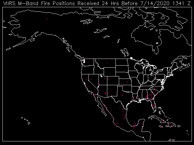
The recent fires identified by the VIIRS fire product are shown below (README):
Contact Information: |
||
|
You are Here: http://www.ssd.noaa.gov/PS/FIRE/Layers/VIIRS/viirs.html
|