| SPSD Tropical Program Products: |
|
|
|
|
|
|
Bulletins |
 |
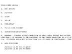
Text bulletins disseminated by 0400Z, 1000Z, 1600Z, and 2200Z describing the position and intensity estimates for tropical disturbances and tropical cyclones in the Eastern and Southern Hemispheres. |
|
|
|
Microwave Positions |
 |
Subjective position estimates of tropical disturbances and cyclones across the globe using a variety of microwave sensors.
ATCF Format |
|
|
|
|
MTCSWA |
 |
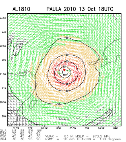
MTCSWA combines information from several data sources to create a mid-level wind analysis which is then adjusted to the surface. Eight products are displayed, most notably an inner core scale surface wind analysis. |
|
|
|
TCFP |
 |
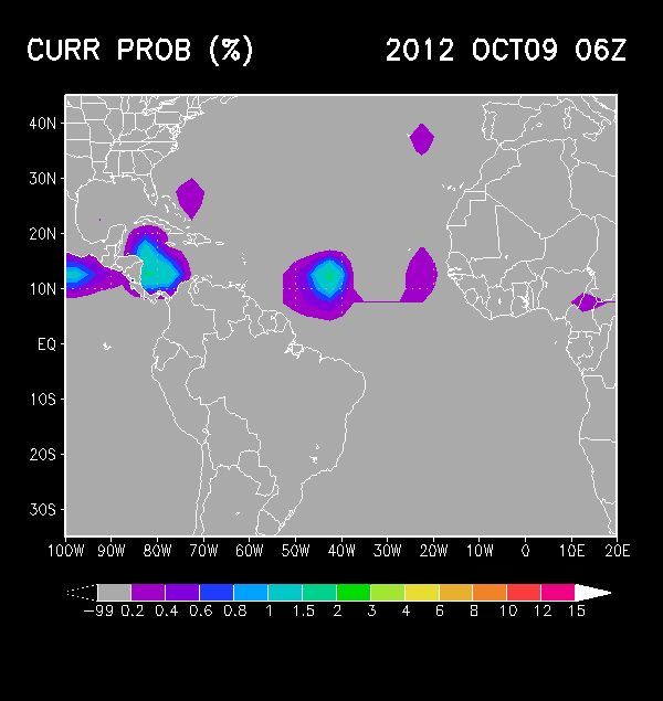
The Tropical Cyclone Formation Probability Product provides an estimate of the probability of tropical cyclone formation within the next 24 hours in 1 by 1 degree latitude/longitude areas from 45S to 45N and 0 to 360E. |
|
|
|
| Outside Tropical Products: |
|
|
|
|
NCEP International Desk |
 |
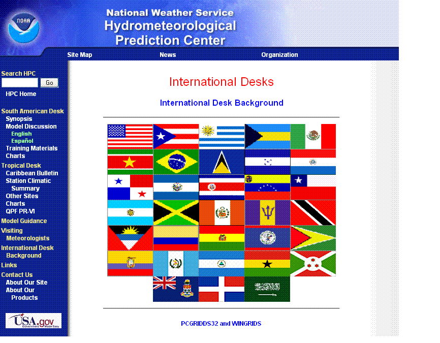
NOAA's Hydrometeorological Prediction Center provides visiting scientists meteorological training with an emphasis on the operational use and application of numerical model products. |
|
|
|
|
|  |
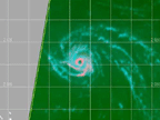
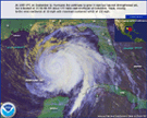
High-resolution, detailed imagery of tropical cyclones as detected in remotely sensed data. |
|


