


Products Last Updated 2013 APR 23 06UTC |
|||
|---|---|---|---|
96-Hour Loop of Real-time Formation Probability |
Real-Time | Climatological | Anomaly |
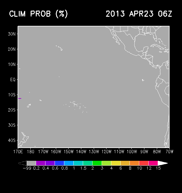
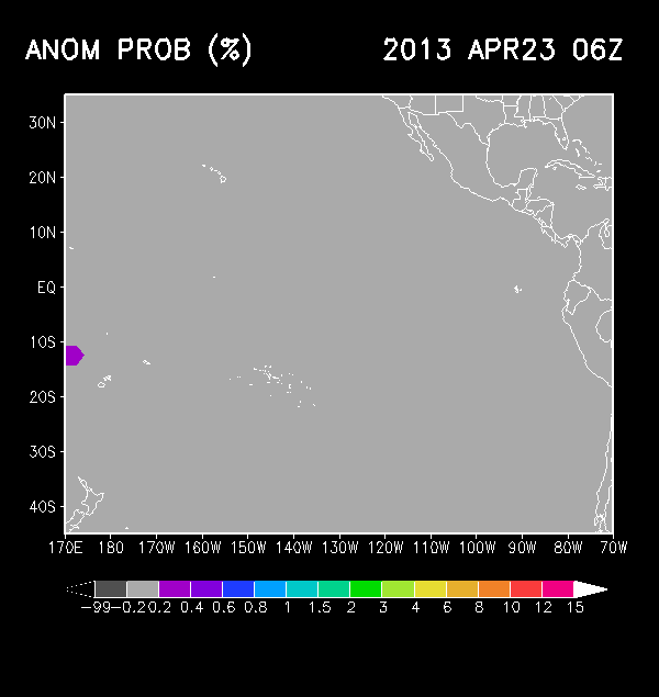
| Probability of TC Formation within 24 Hours | 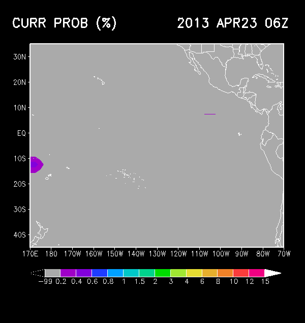 |
 |
 |
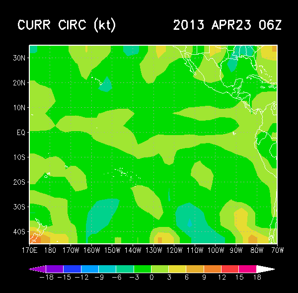
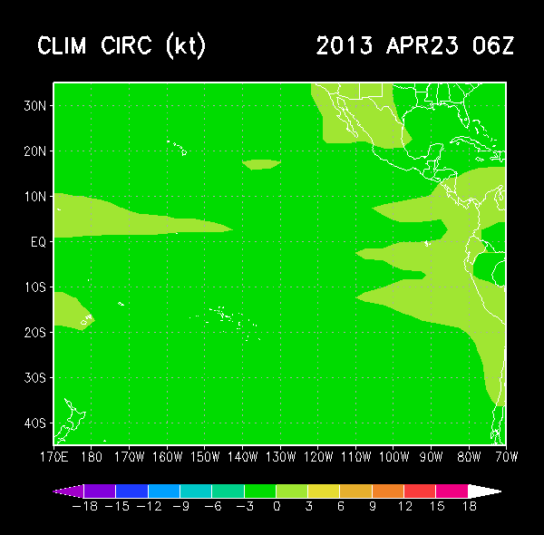
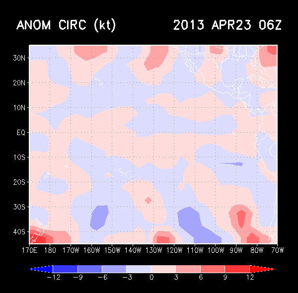
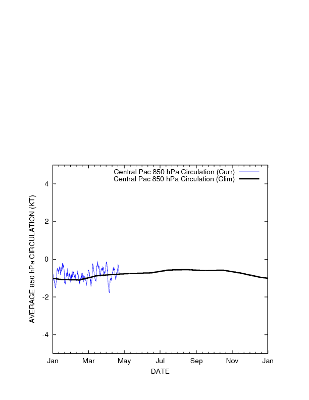
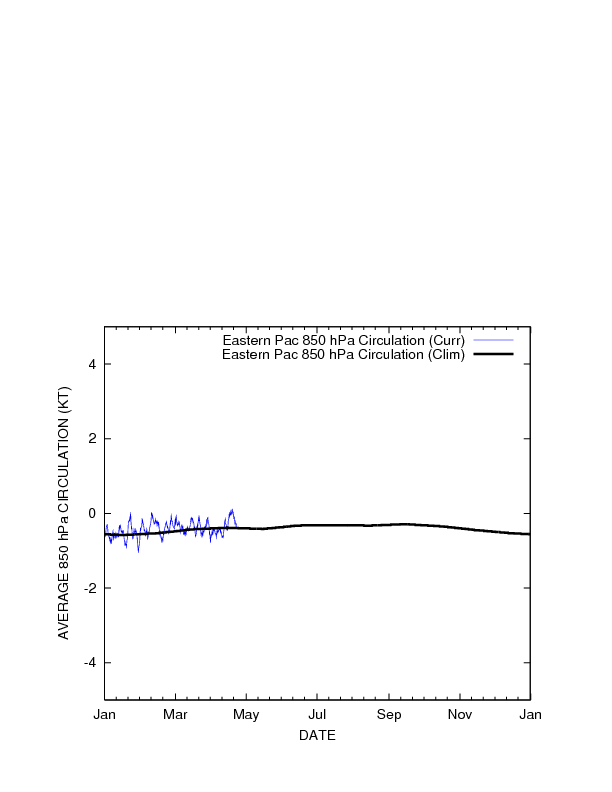
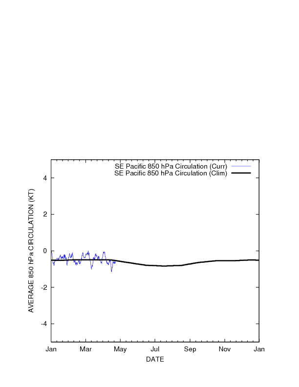
| 850 hPa Circulation (kt) TC Formation Threshold > -2.41kt |
 |
 |
 |
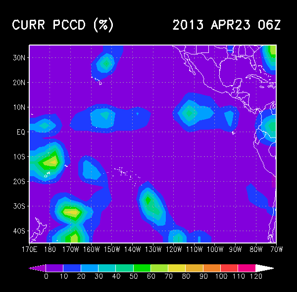
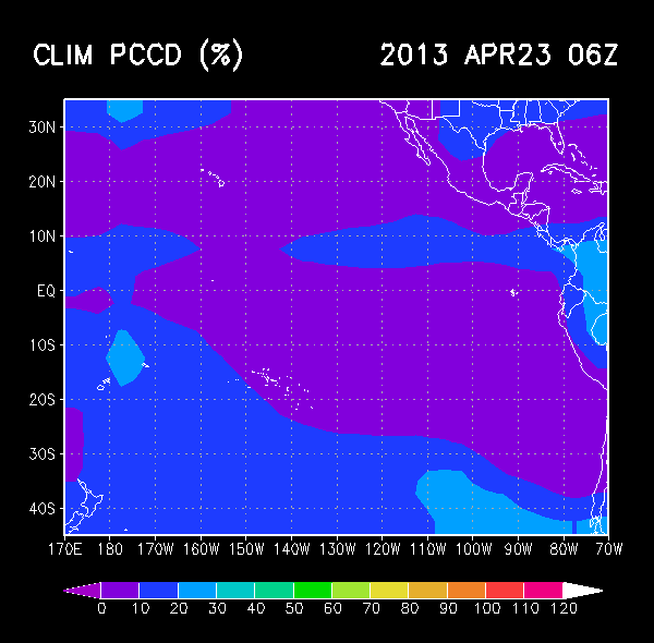
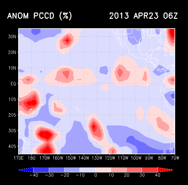
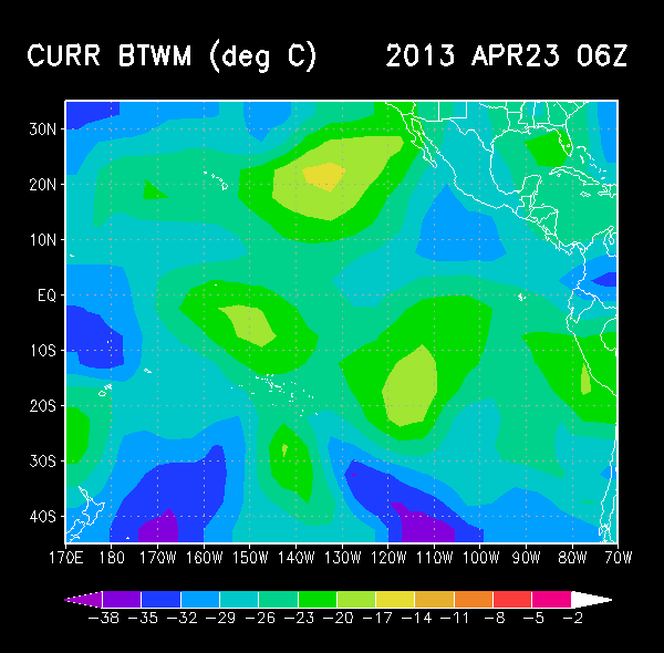
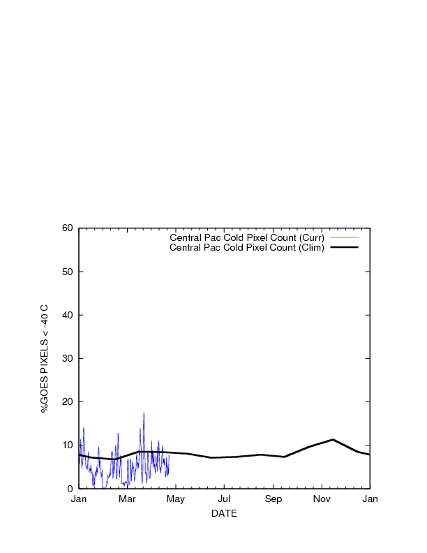
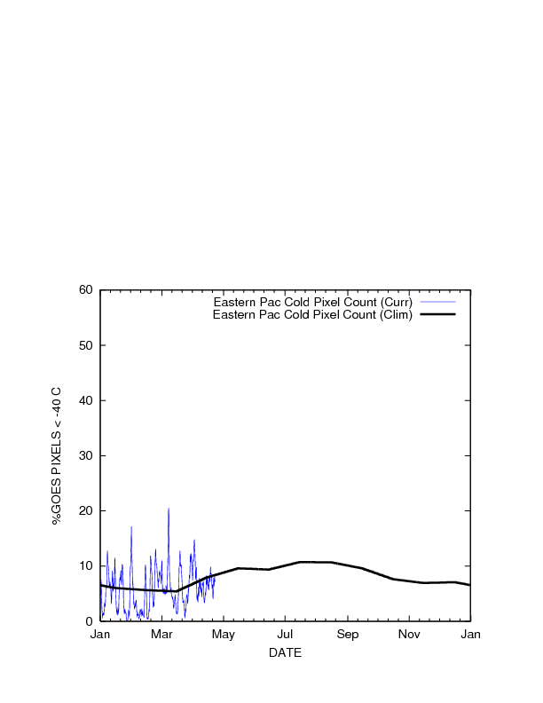
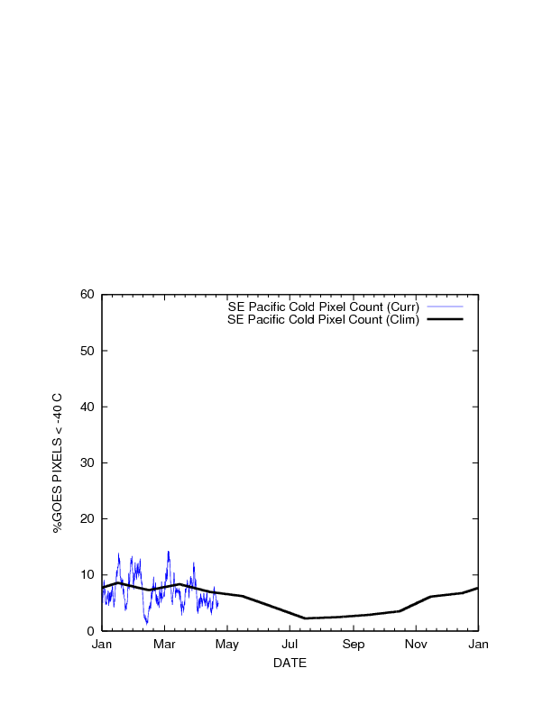
| Percent Pixels Colder than -40°C TC Formation Threshold > 4.2% |
 |
 |
 |
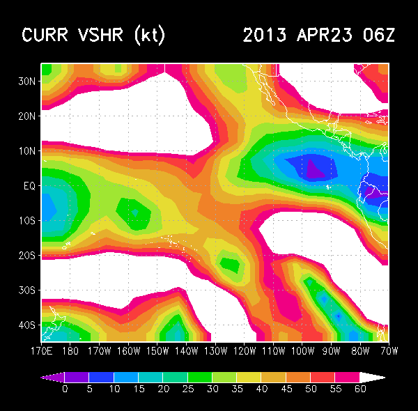
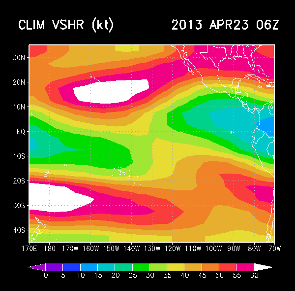
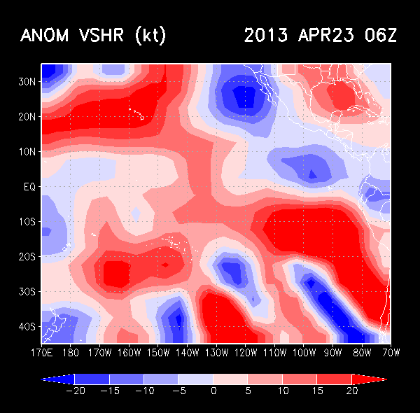
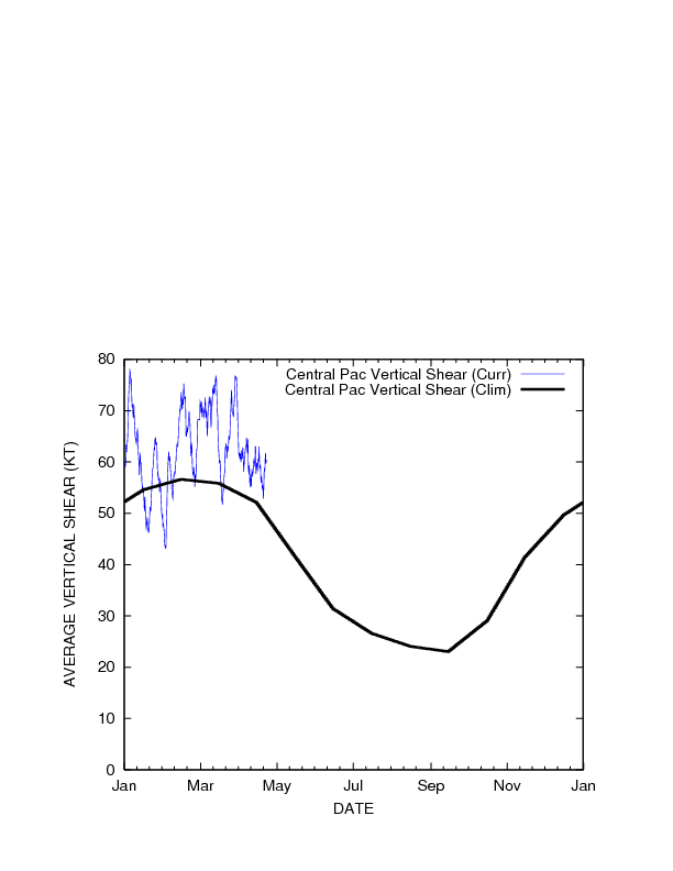
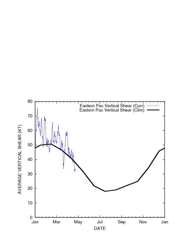
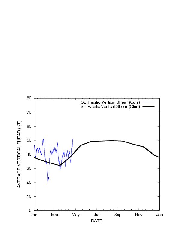
| 850-200 hPa Vertical Shear (kt) TC Formation Threshold < 29.4kt |
 |
 |
 |
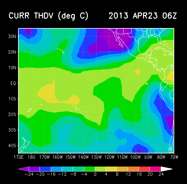
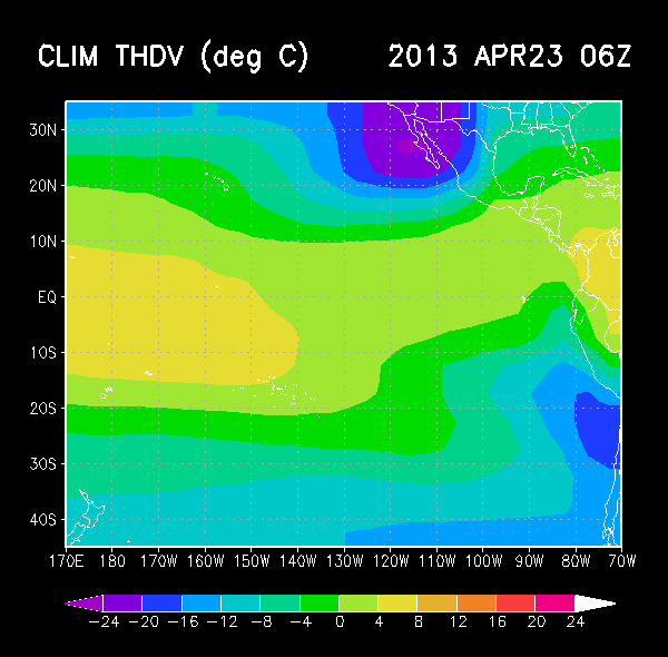
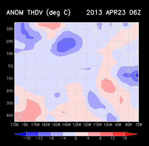
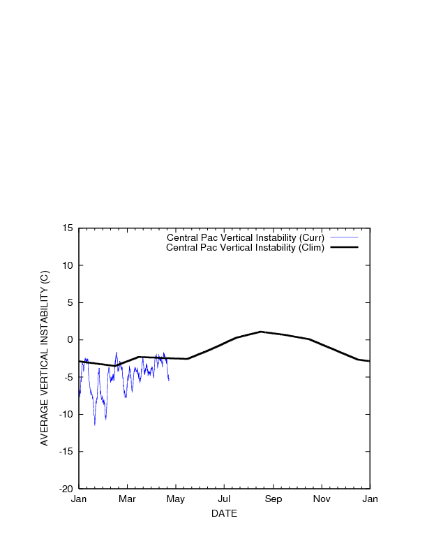
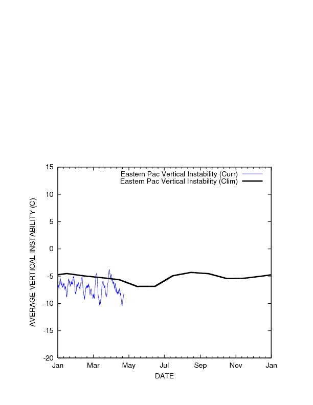
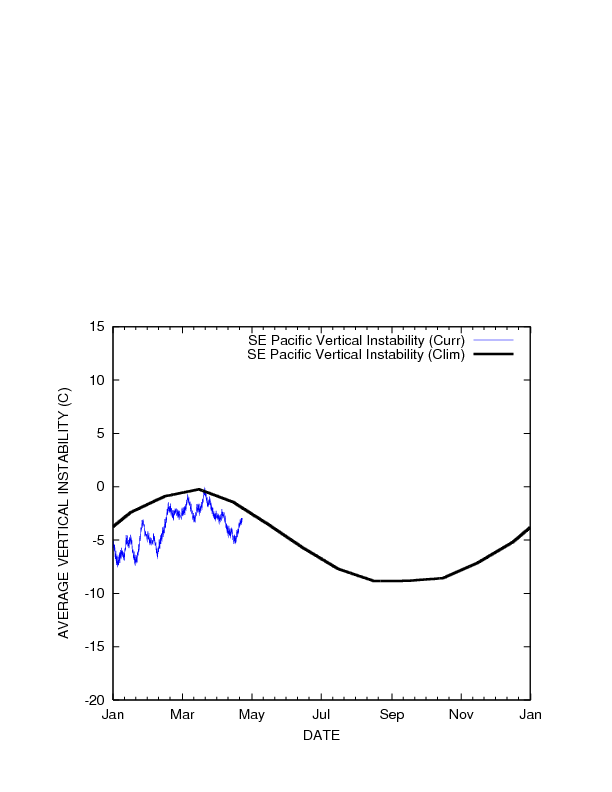
| Vertical Instability (°C) TC Formation Threshold > -3.14°C |
 |
 |
 |
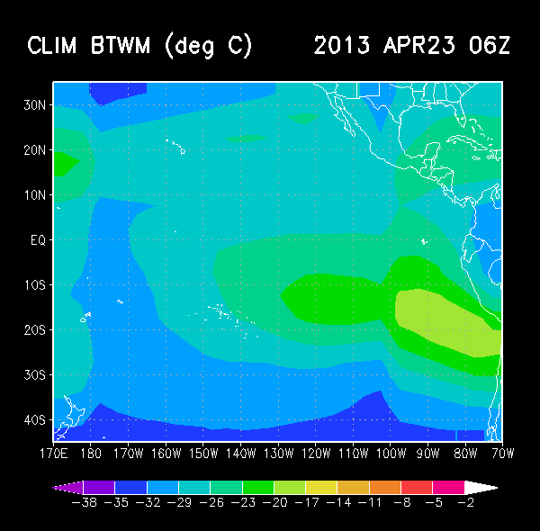
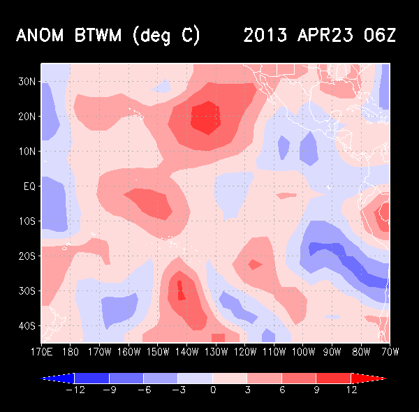
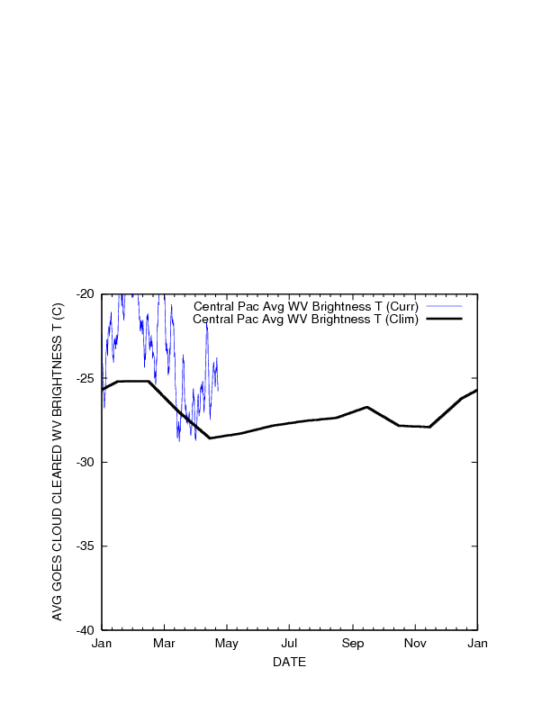
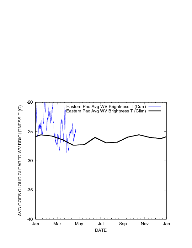
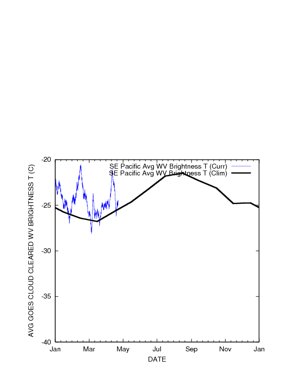
| Cloud-cleared Water Vapor Brightness Temperature (°C) TC Formation Threshold < -23.1°C |
 |
 |
 |
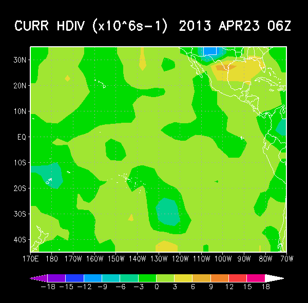
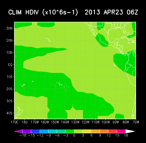
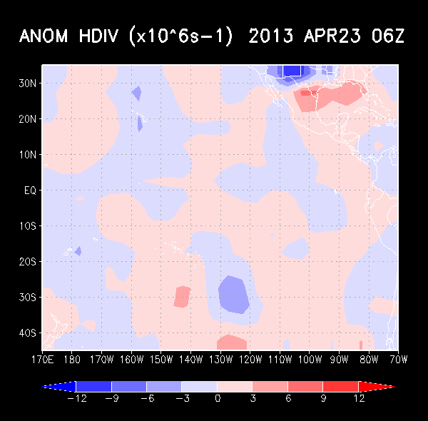
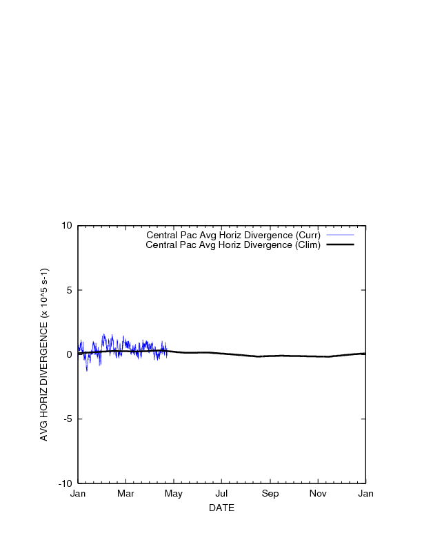
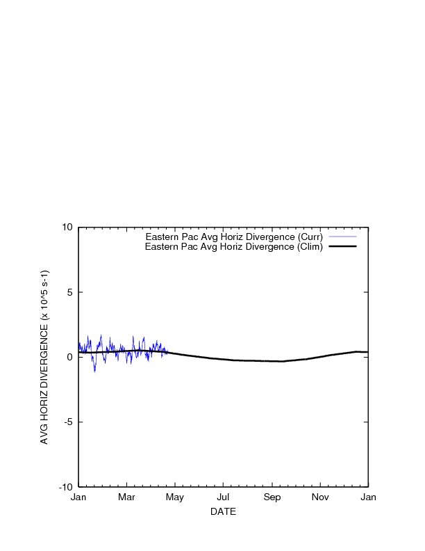
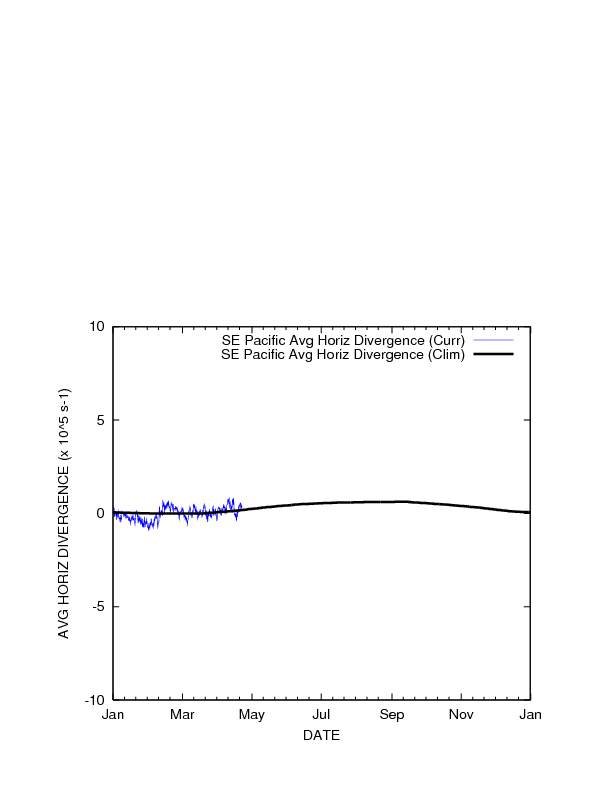
| 850 hPa Horizontal Divergence (x10-5 s-1) TC Formation Threshold < 0.691 |
 |
 |
 |
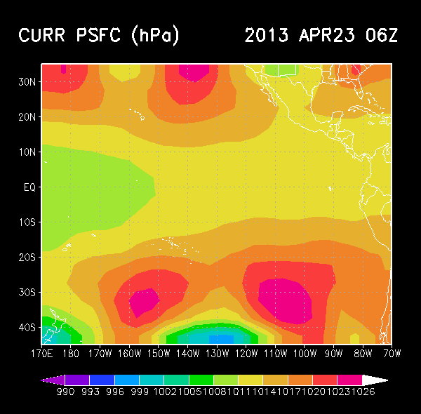
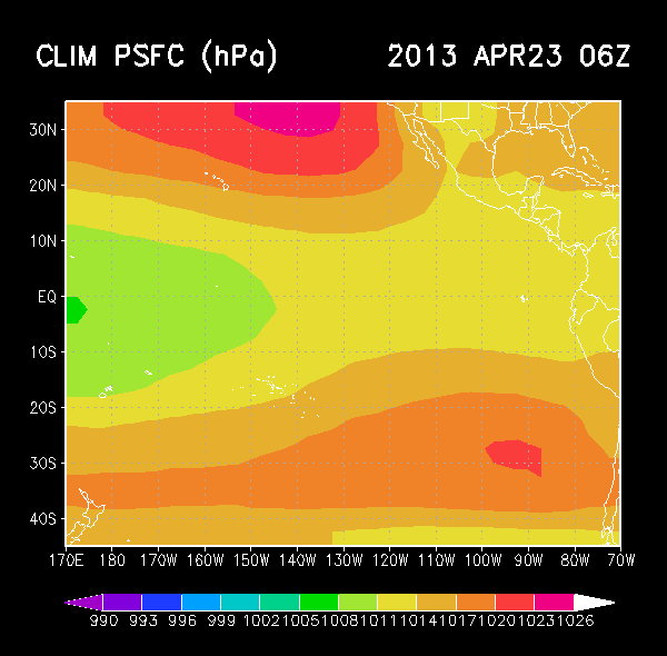
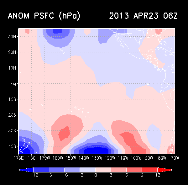
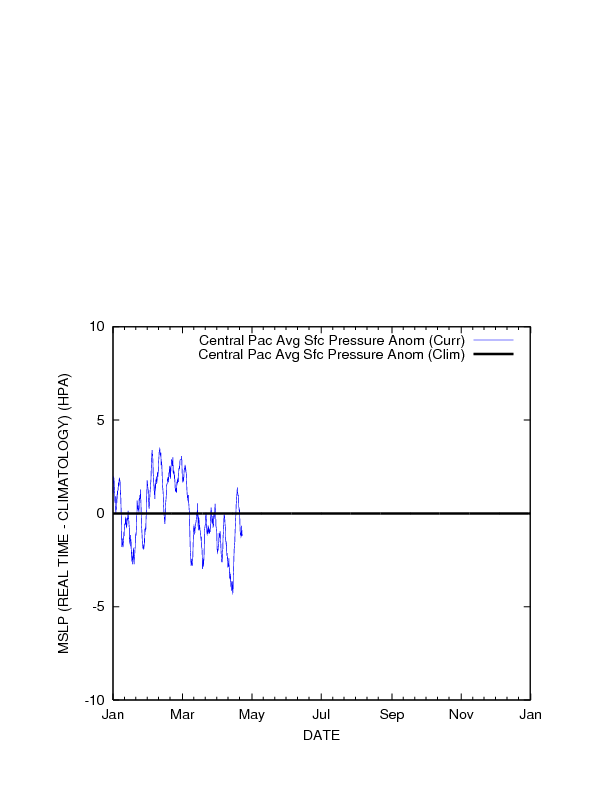
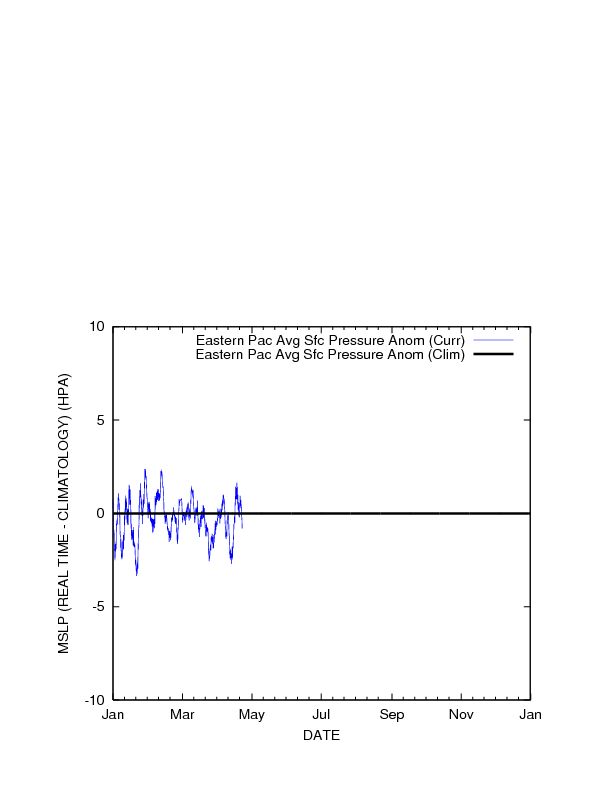
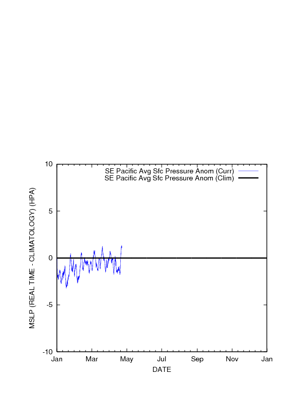
MSLP (hPa) |
 |
 |
 |
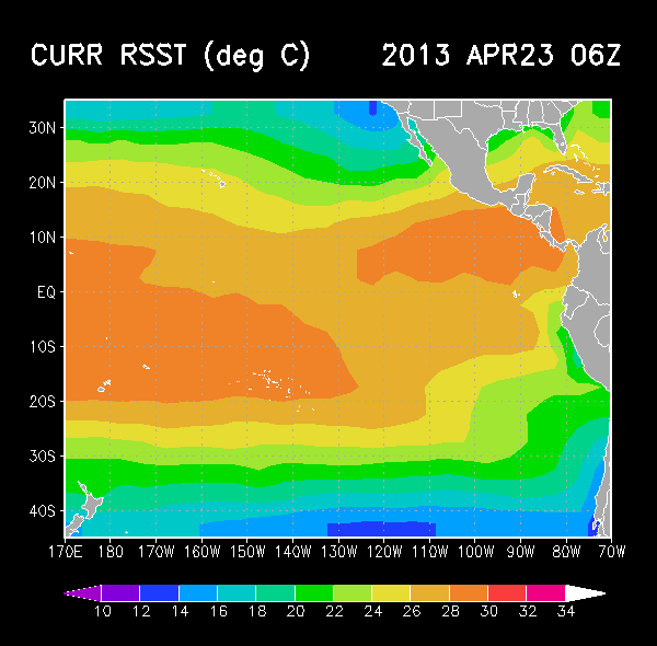
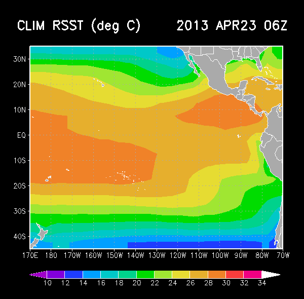
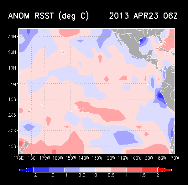
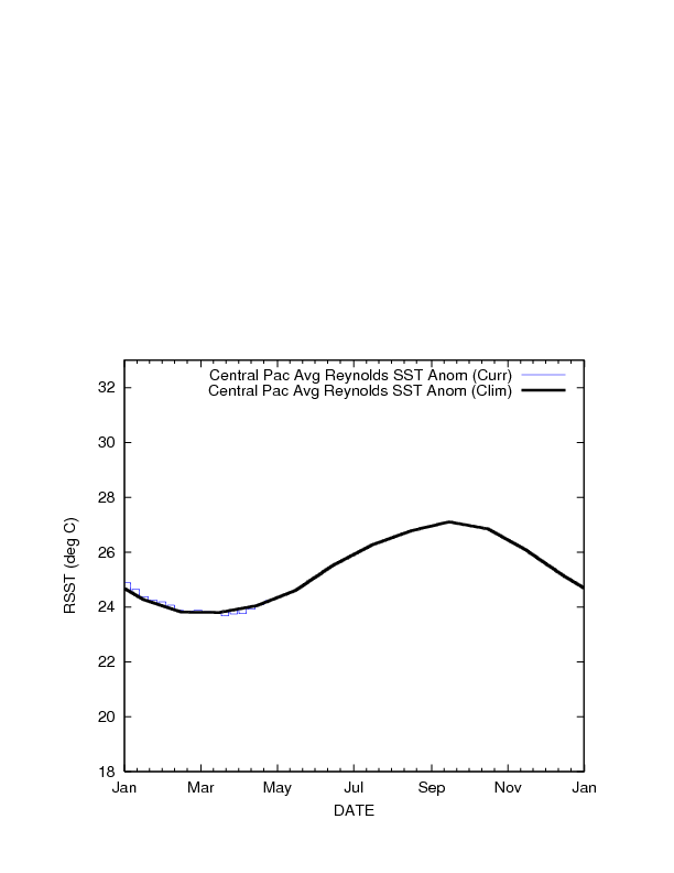
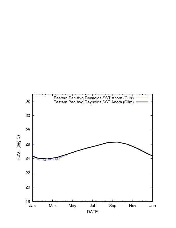
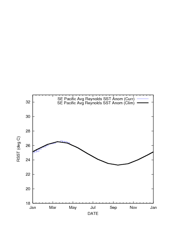
| Reynolds SST (°C) |
 |
 |
 |
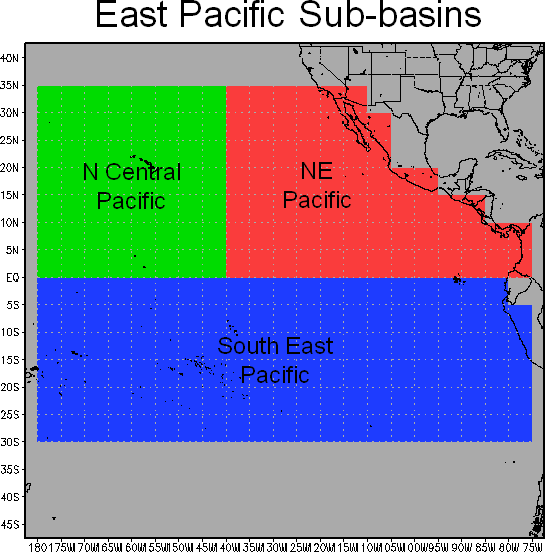
Subbasin Areas
Time Series Products on Subbasins
| Formation Probability | 850 hPa Circulation | Percent GOES Pixels < -40°C | 850-200 hPa Vertical Shear | Vertical Instability | Cloud-cleared GOES Brightness Temperature | 850 hPa Horizontal Divergence (10-5 s-1) | MSLP Anom | Reynolds SST | |
|---|---|---|---|---|---|---|---|---|---|
| Central Pacific | 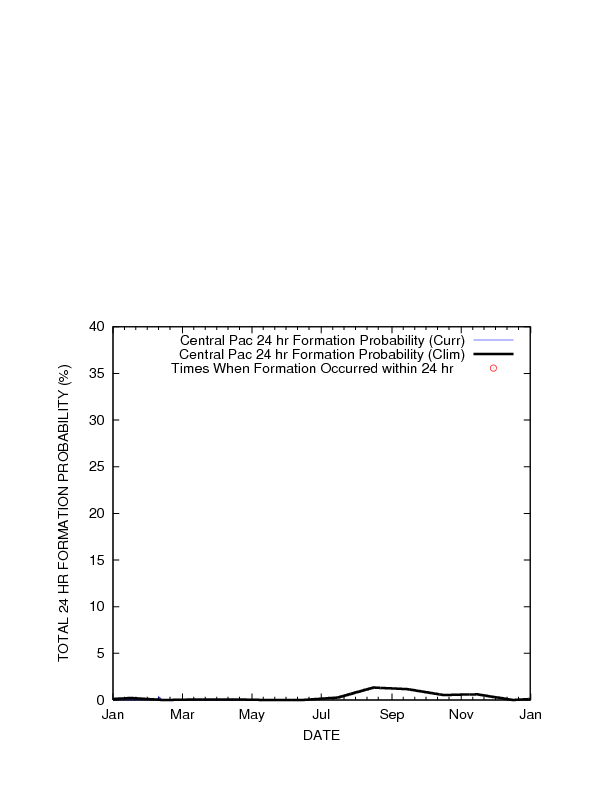 |
 |
 |
 |
 |
 |
 |
 |
 |
| NE Pacific | 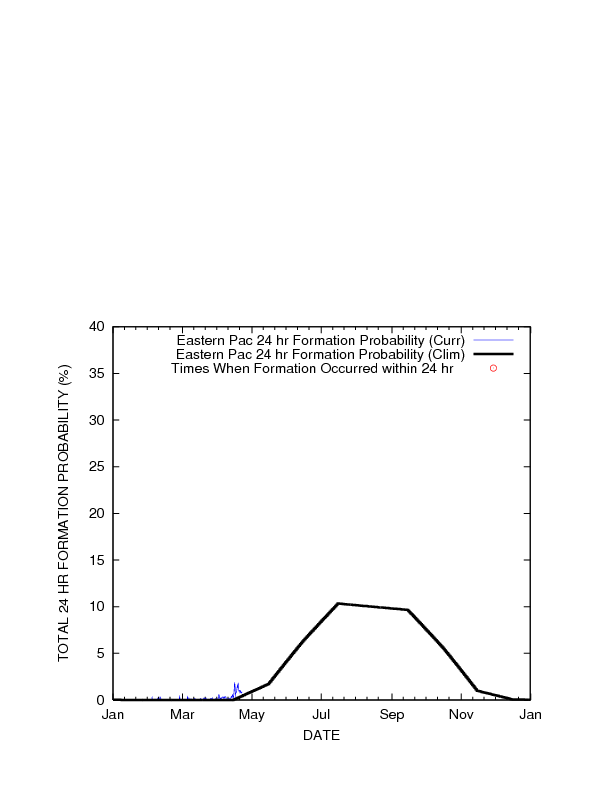 |
 |
 |
 |
 |
 |
 |
 |
 |
| SE Pacific | 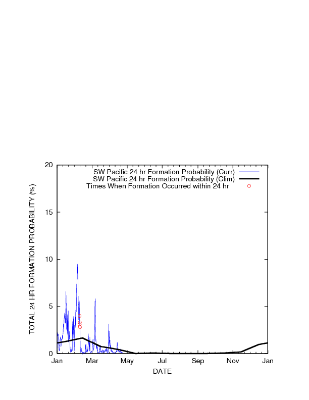 |
 |
 |
 |
 |
 |
 |
 |
 |
 |
|