

 |
CURRENT TIME
(based on your computer's time): |
|||
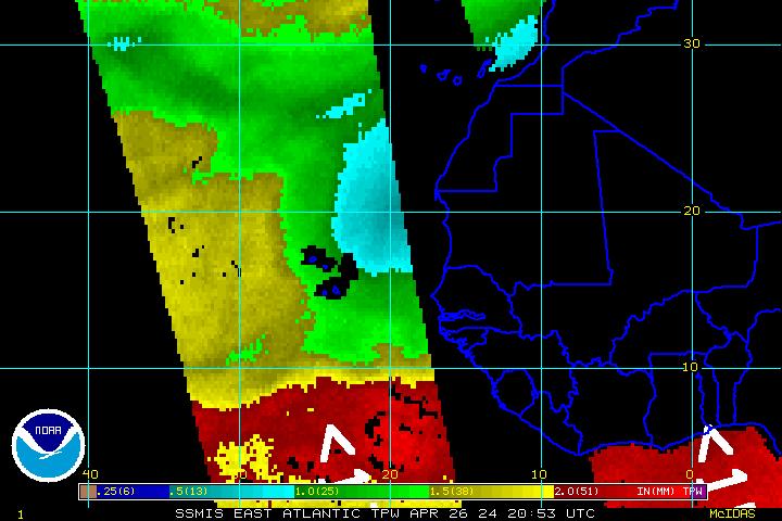
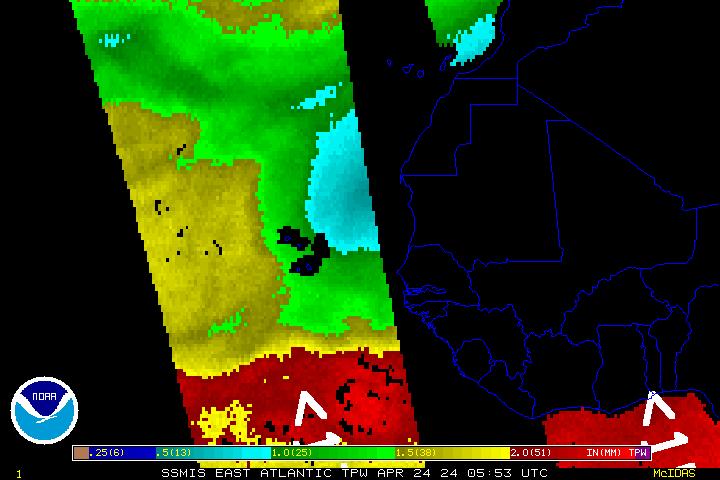
Polar DMSP/AMSU/TRMM Imagery Every 3 hours Imagery available about 45 minutes later. |
| Polar Imagery | ||
| Single Image | Image Loops (Toggle Lat/Lon) | |
| With Lat/Lon | Without Lat/Lon | HTML5 |
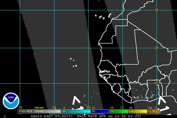
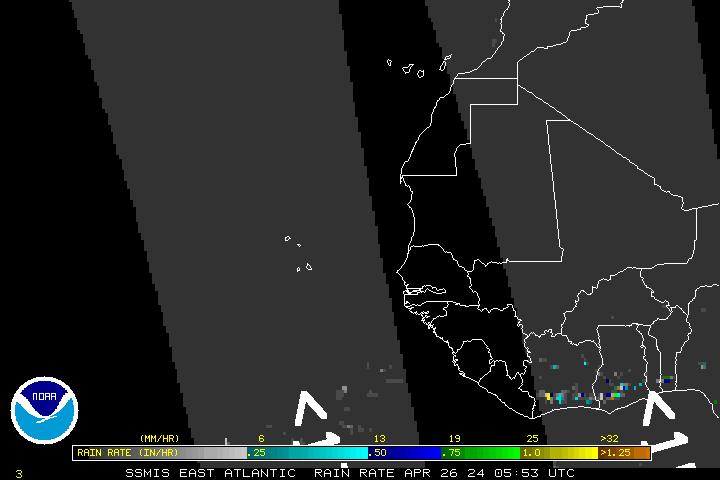
| DMSP SSM/IS Imagery | ||
| 85 GHz Radiance | 85 GHz Radiance | 85 GHz Radiance |
| Precipitable Water | Precipitable Water | Precipitable Water |
| Rain Rate | Rain Rate | Rain Rate |
| Surface Winds | Surface Winds | Surface Winds |
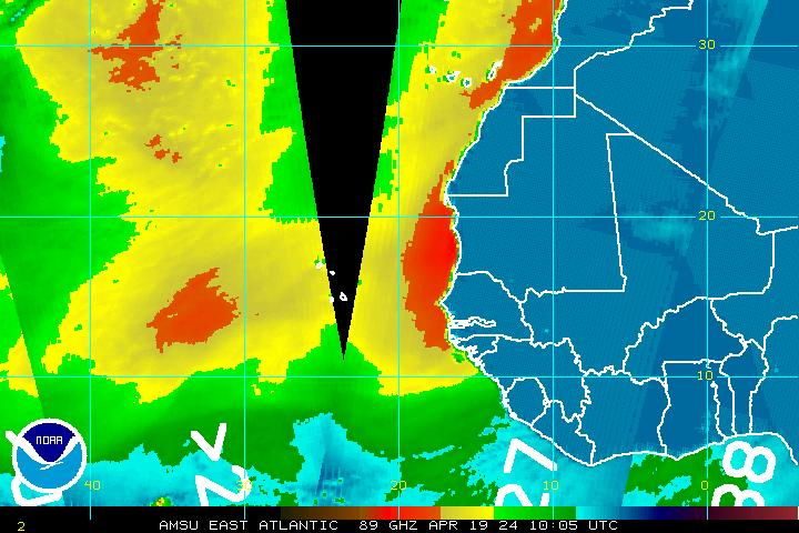
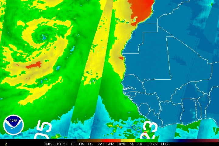
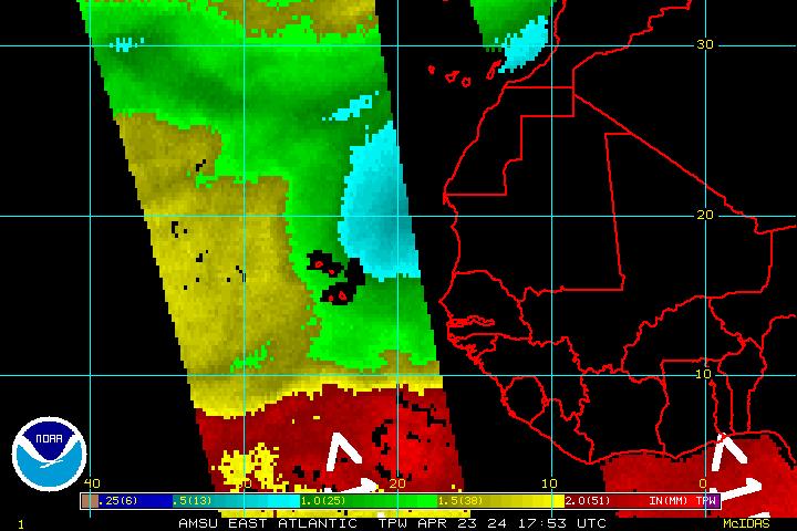
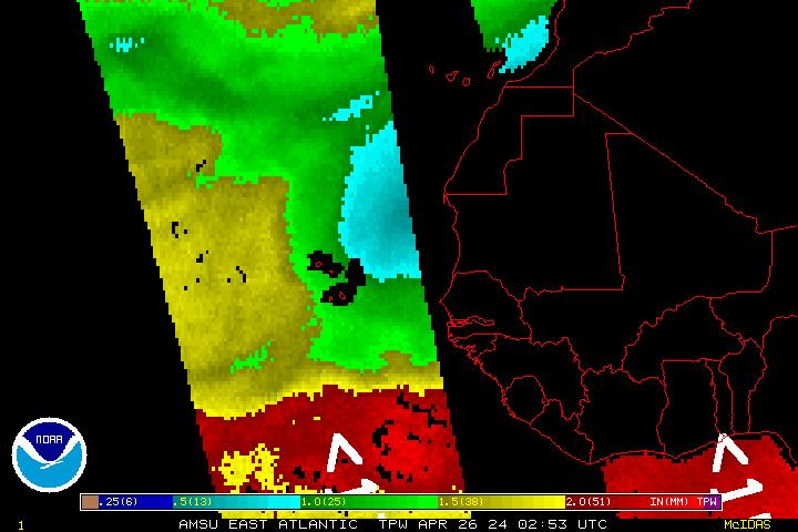
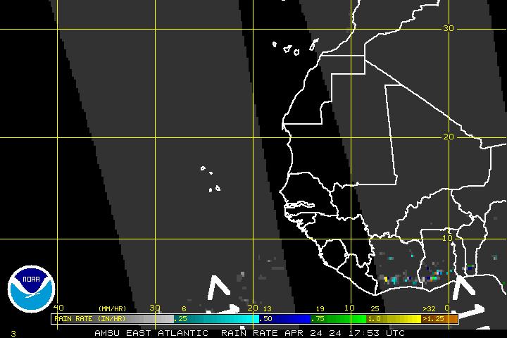
| AMSU Microwave Imagery | ||
| 89 GHz Radiance | 89 GHz Radiance | 89 GHz Radiance |
| Precipitable Water | Precipitable Water | Precipitable Water |
| Rain Rate | Rain Rate | Rain Rate |