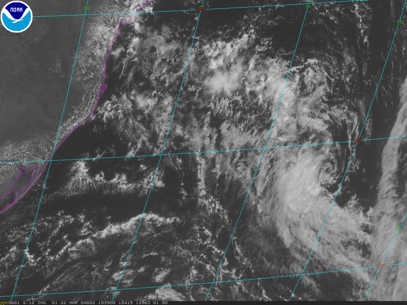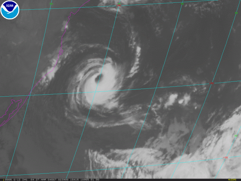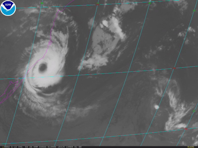
Tropical analysts at the Satellite Analysis Branch (SAB) derived 11 position and intensity estimates on the tropical cyclone, dubbed Catarina by Brazilian meteorologists, and seven phone coordination calls were held with satellite meteorologists at the Tropical Analysis and Forecast Branch (TAFB) of the Tropical Prediction Center (TPC). All estimates were also disseminated via the SSD website. Satellite intensity estimates suggesting maximum sustained winds of 75 knots for the 30 hours leading up to landfall agreed well with unofficial observations at the time of landfall
Satellite Analysis Branch estimated positions and intensity for South Atlantic storm:
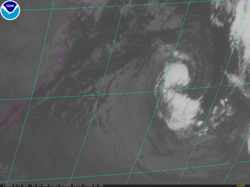
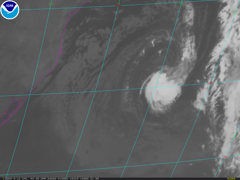
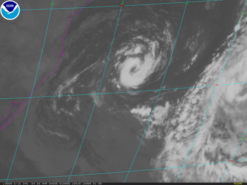
Date/Time	Lat		Lon		Dvorak Estimate (FT/CI)
25/2009Z	28.8S		42.3W		T3.0/3.0
25/2339Z	28.7S		42.6W		T3.0/3.0
26/0639Z	28.7S		43.1W		T3.5/3.5
26/1145Z	28.9S		43.7W		T4.0/4.0
26/1709Z	29.0S		44.3W		T4.5/4.5
26/2300Z	29.0S		44.8W		T4.5/4.5
27/0639Z	29.3S		45.6W		T4.5/4.5
27/1145Z	29.5S		46.4W		T4.5/4.5
27/1745Z	29.6S		47.4W		T4.5/4.5
27/2309Z	29.3S		48.2W		T4.5/4.5
28/0639Z	28.9S		49.7W		OVERLAND