

Polar imagery over a given area is much less frequent than Geostationary imagery. So for standard visible and Infrared, the Geostationary images are used for sectors. Polar Mapped Mosaic Satellite Composite Images are used for daily snapshots of the entire Northern Hemisphere, Southern Hemisphere, or a mercator projection view of the Tropics.
Because of the layout of the GOES imagery, the polar DMSP, AMSU and TRMM imagery has been mapped to match these sectors, allowing the use of some of the same overlay information. At this point in time, only areas primarily over the ocean have been included.
*note* TRMM imagery is not available north of 35 N due to the orbit of the spacecraft and has not been used on sectors extending north of 35 degrees North Latitude.
Tropical West Pacific - Wide View 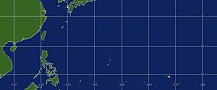 |
Tropical East Pacific- Wide View 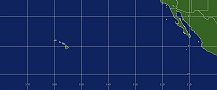 |
Tropical Atlantic - Wide View 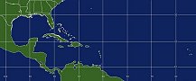 |
West Atlantic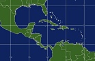 |
Caribbean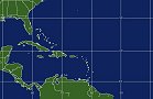 |
Central Atlantic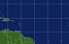 |
Eastern Atlantic |
Gulf of Mexico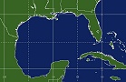 |
East U. S.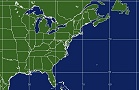 |
Northwest Atlantic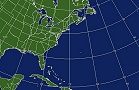 |
North Atlantic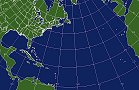 |
Northeast Atlantic 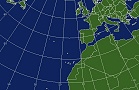 |
West Pacific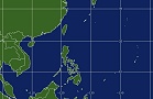 |
West Central Pacific  |
Central Pacific |
East Pacific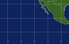 |
Eastern East Pacific
|
West U. S.
|
Northwest Pacific
|
Northeast Pacific
|