

These images are considered "raw" data, with no analysis of fires and/or smoke. To view the official analyses by NOAA meteorologists, please see the Hazard Mapping System Fire and Smoke Product. Probable fires will appear as sharp white "spots" in the Reflectivity images.
See a brief explanation of the Infrared Reflectivity Product. ![]()
GOES-WEST Visible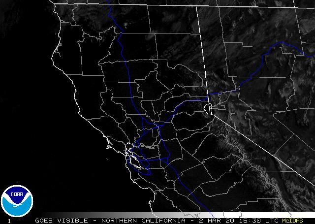 Loops: Java | Flash | HTML5 |
GOES-WEST Infrared Ch. 4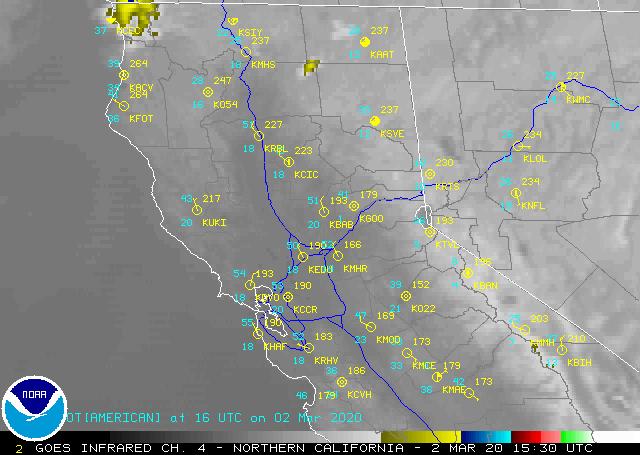 Loops: Java | Flash | HTML5 |
GOES-WEST Infrared Ch. 2 Loops: Java | Flash | HTML5 |
GOES-WEST Reflectivity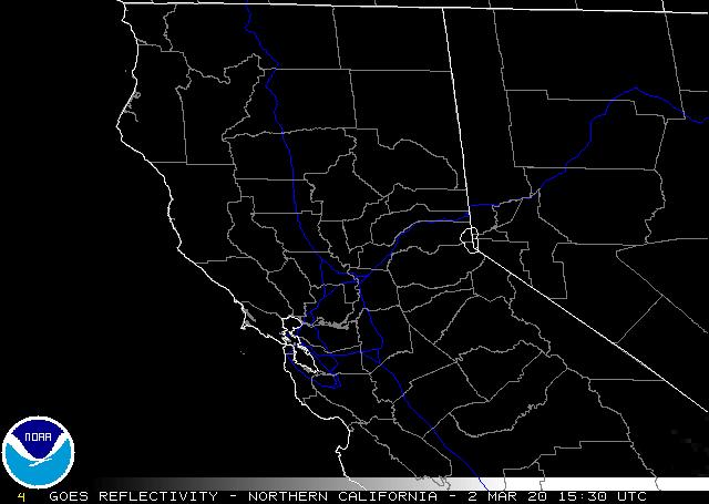 Loops: Java | Flash | HTML5 |
GOES-WEST Shortwave Albedo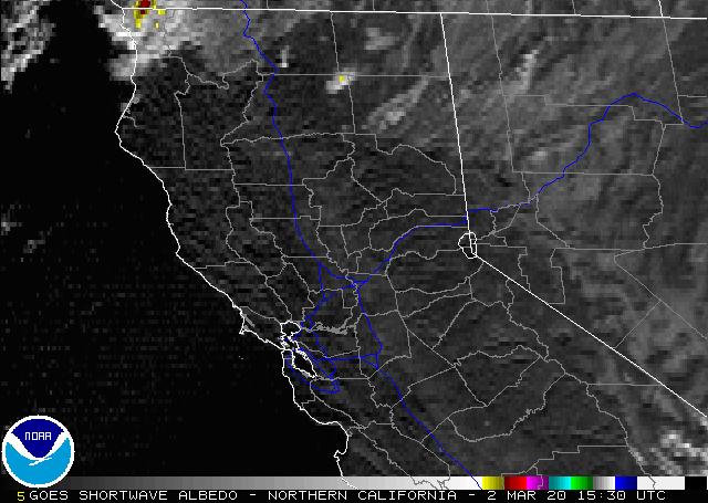 Loops: Java | Flash | HTML5 |
HMS Fire Analysis 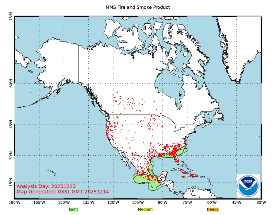 |
![]() Indicates a link outside the U.S. Government.
Indicates a link outside the U.S. Government.