

| CURRENT TIME (based on your computer's time): | |
GOES-West Floaters Quick-Link |
Pavlof
|
Sobranes Fire
|
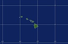
HAWAII
|
Not Active
|
MTSAT Floaters |
[an error occurred while processing this directive]
|
[an error occurred while processing this directive]
|
[an error occurred while processing this directive]
|
[an error occurred while processing this directive]
|
West Pacific - Wide View
|
East & Central Pacific - Wide View
|
Central Pacific
 |
East Pacific
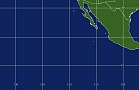 |
Eastern East Pacific
 |
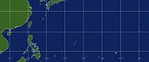
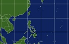
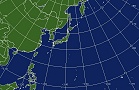
West Pacific
 |
West Central Pacific
 |
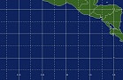
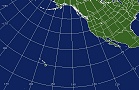
West Coast
 |
Northwest Pacific
 |
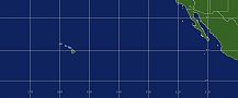
Hawaii
 |
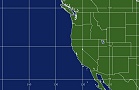
Northeast Pacific
 |
Note: Eastern East Pacific images are also visible on the West Atlantic Imagery
| RTG-SST Sea Surface Temperatures |
Polar Image Composites |
Floaters | System Status | ||
| Image | Atlantic | Pacific | Atlantic | Atlantic | Bulletins |
| Loop | Atlantic | Pacific | Pacific | Pacific | Special Messages |
Link to All Floater Imagery
Geostationary Imagery from GOES-West Satellite, MTSAT-1R, and GOES-East for the Eastern East Pacific.
Links to outside sites and more satellite data: