

 |
|
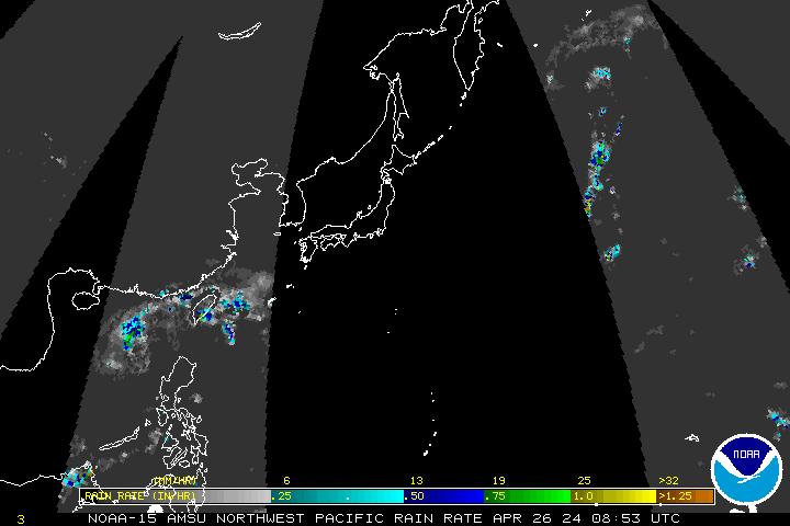
Polar DMSP/AMSU Imagery Every 3 hours Imagery available about 45 minutes later. |
| Polar Imagery | |||
| Single Image | Image Loops (Toggle Lat/Lon) | ||
| With Lat/Lon | Without Lat/Lon | HTML5 | |
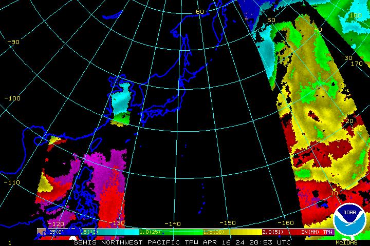
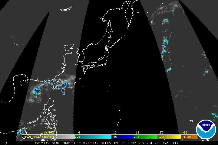
| DMSP SSM/IS Imagery | |||
| 85 GHz Radiance | 85 GHz Radiance | 85 GHz Radiance | |
| Precipitable Water | Precipitable Water | Precipitable Water | |
| Rain Rate | Rain Rate | Rain Rate | |
| Surface Winds | Surface Winds | Surface Winds | |
| AMSU Microwave Imagery | |||
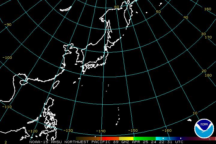
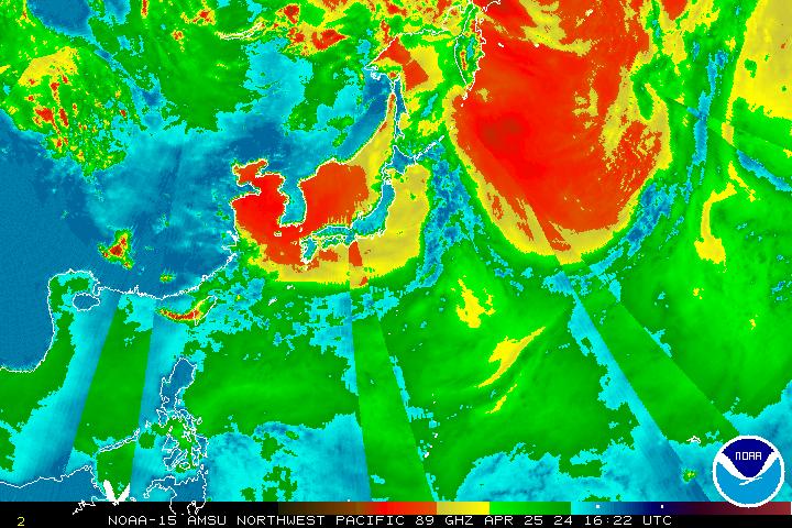
| 89 GHz Radiance | 89 GHz Radiance | 89 GHz Radiance | |
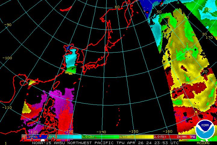
| Precipitable Water | Precipitable Water | Precipitable Water | |
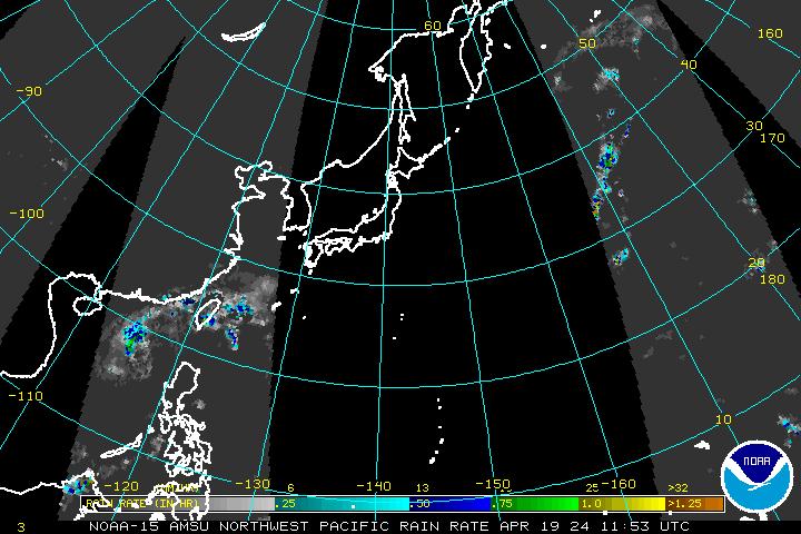
| Rain Rate | Rain Rate | Rain Rate | |
Himawari-8: This imagery is now being generated from Himawari-8 data modified to be emulate the MTSAT imagery previously found on these pages. Our source for this data is not operational and is not 24/7. We will make every effort to keep it available. If you need operational data, please see our Policy on Access and Distribution. More information on the Himawari-8 data is available from the Meteorological Satellite Center (MSC) of JMA.