

|
Please Note:
GOES-15 supplemental operations ended on March 2, 2020. The distribution of GOES-15 satellite products has been discontinued. Please visit https://www.star.nesdis.noaa.gov/GOES/index.php to access GOES imagery that used to be hosted on this site. |
| HIMAWARI Footprint Floaters |
Meteosat Footprint |
| POES Pacific | POES Atlantic |
Selected Imagery
Tropical West Pacific - Wide View  |
Tropical East Pacific- Wide View  |
West U. S. |
Northeast Pacific |
Northeast Atlantic 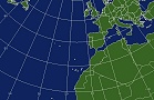 |
Alaska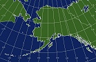 |
Hawaii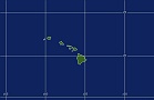 |
Java/Flash Loop Notes:
GOES - usually 12-15 images with static overlays
POES - usually 15 images limited static overlays
All Loops have a Latitude/Longitude Overlay
Image Enhancement Information
What is a satellite "Footprint"