

 |
|
Polar DMSP/AMSU Imagery Every 3 hours Imagery available about 45 minutes later. |
| Polar Imagery | |||
| Single Image | Image Loops (Toggle Lat/Lon) | ||
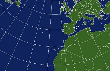
| With Lat/Lon | Without Lat/Lon | HTML5 | |
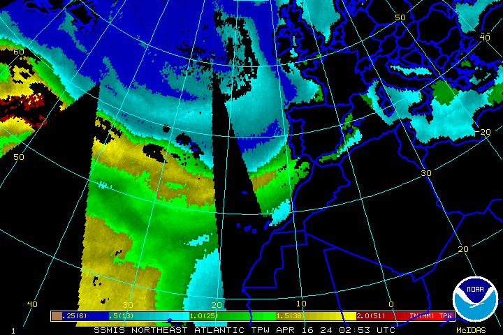
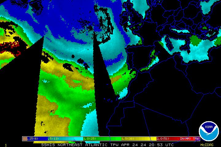
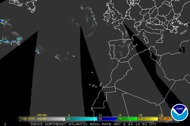
| DMSP SSM/IS Imagery | |||
| 85 GHz Radiance | 85 GHz Radiance | 85 GHz Radiance | |
| Precipitable Water | Precipitable Water | Precipitable Water | |
| Rain Rate | Rain Rate | Rain Rate | |
| Surface Winds | Surface Winds | Surface Winds | |
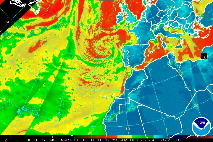
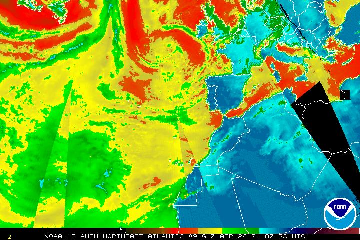
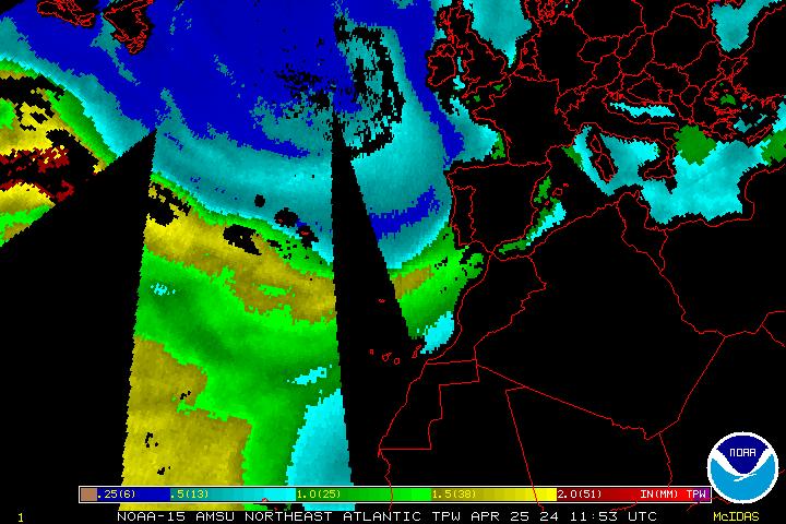
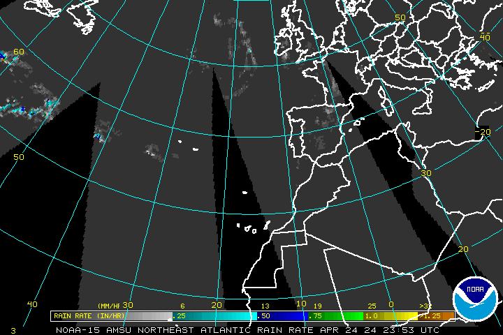
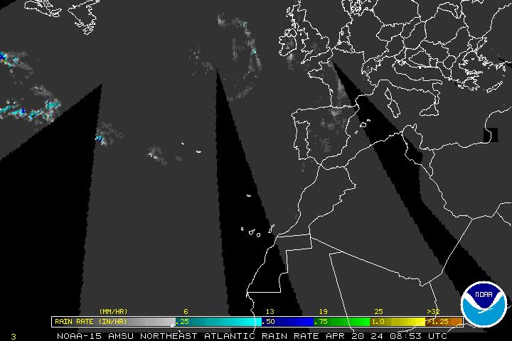
| AMSU Microwave Imagery | |||
| 89 GHz Radiance | 89 GHz Radiance | 89 GHz Radiance | |
| Precipitable Water | Precipitable Water | Precipitable Water | |
| Rain Rate | Rain Rate | Rain Rate | |
Java/Flash Loop Notes:
GOES - usually 12-15 images with static overlays
POES - usually 15 images limited static overlays
All Loops have a Latitude/Longitude Overlay
Image Enhancement Information