

 |
|||
CURRENT TIME
(based on your computer's time): |
|||
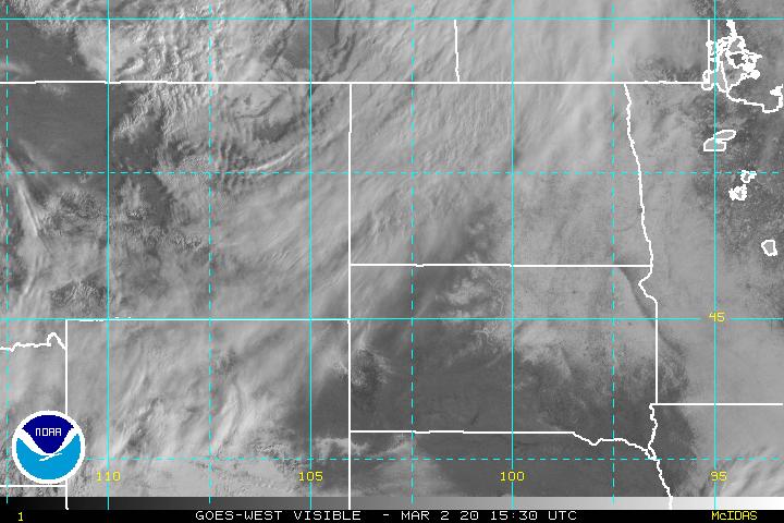
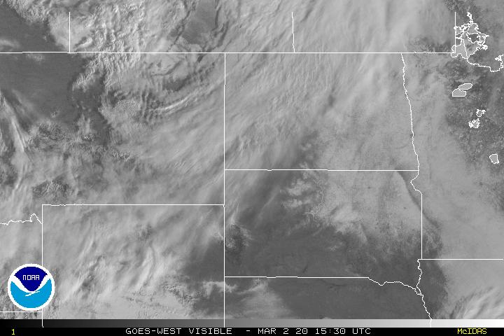
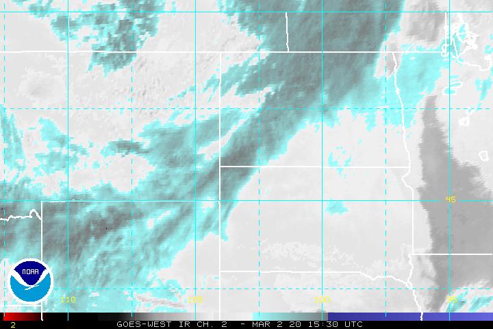
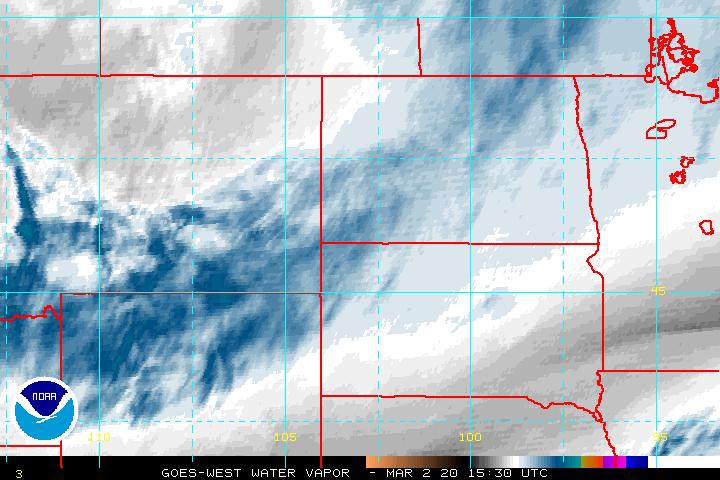
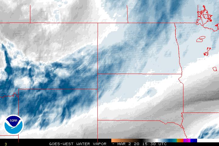
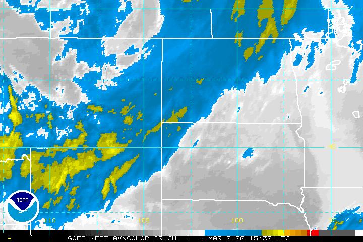
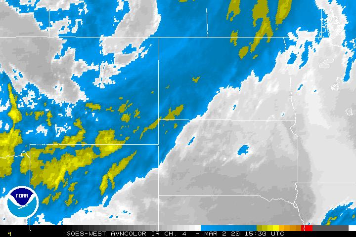
GOES West Imagery - 30 Minutes xx15Z and xx45Z Imagery available about 25 minutes later. 3 km resolution |
| Single Image | Image Loops (Toggle Lat/Lon) | ||
| With Lat/Lon | Without Lat/Lon | Flash | HTML5 |
| Visible | Visible | Visible | Visible |
| Shortwave (IR2) | Shortwave (IR2) | Shortwave (IR2) | Shortwave (IR2) |
| Water Vapor (IR3) | Water Vapor (IR3) | Water Vapor (IR3) | Water Vapor (IR3) |
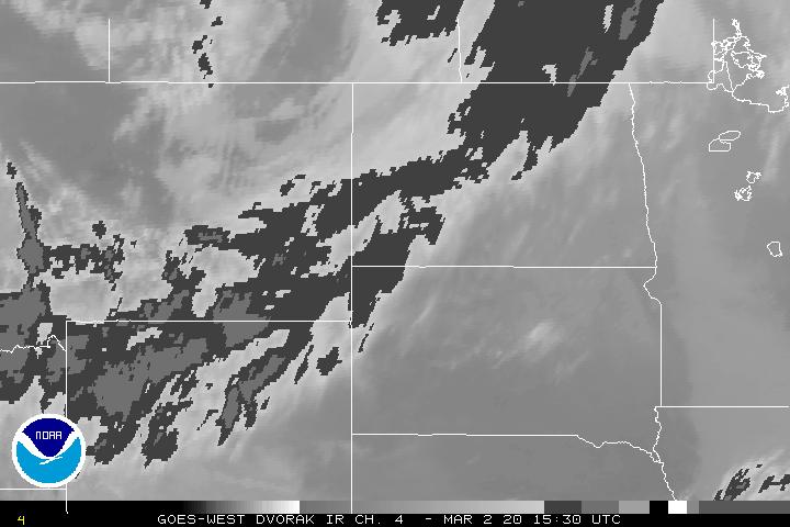
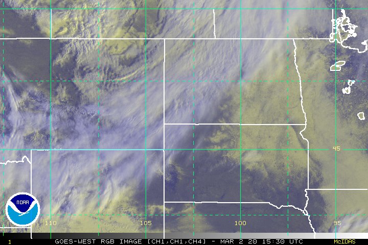
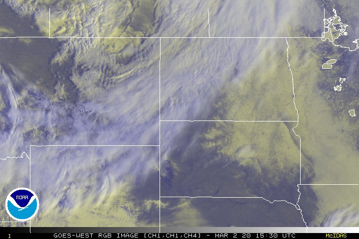
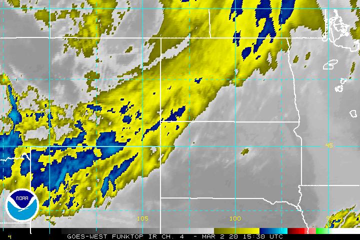
| Infrared Channel 4 Enhancements | |||
| None | None | None | None |
| AVN | AVN | AVN | AVN |
| Dvorak | Dvorak | Dvorak | Dvorak |
| JSL | JSL | JSL | JSL |
| RGB | RGB | RGB | RGB |
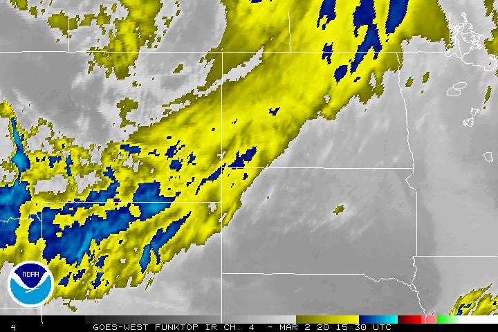
| Funktop | Funktop | Funktop | Funktop |
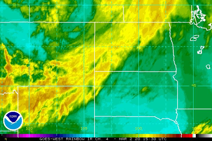
| Rainbow | Rainbow | Rainbow | Rainbow |
Java/Flash Loop Notes:
Usually 12-15 images with static overlays
All Loops have a Latitude/Longitude Overlay
Image Enhancement Information