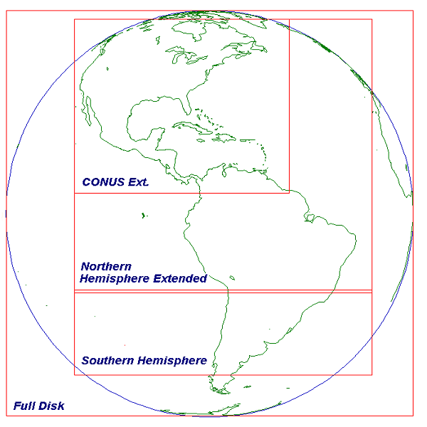
Satellite Footprints
What is a satellite footprint? It is the area of the earth visible to the satellite. Since the ability to accurately view portions of the earth deteriorate as the edge of the footprint is reached, satellite footprints overlap providing coverage for these areas. The best way to visualize a satellite footprint is to view the full disk image from that satellite.

GOES East Footprint, Image
GOES West Footprint, Image
Meteosat Footprint, Image
HIMAWARI Footprint Image
 Indicates a link outside the U.S. Government.


