

 |
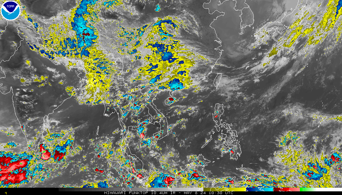
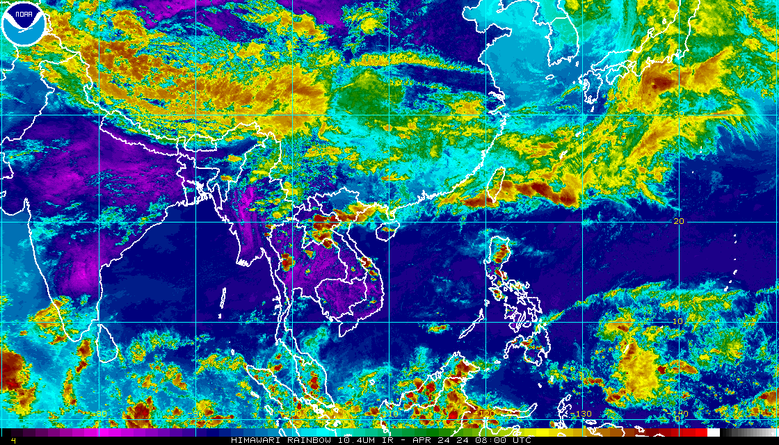
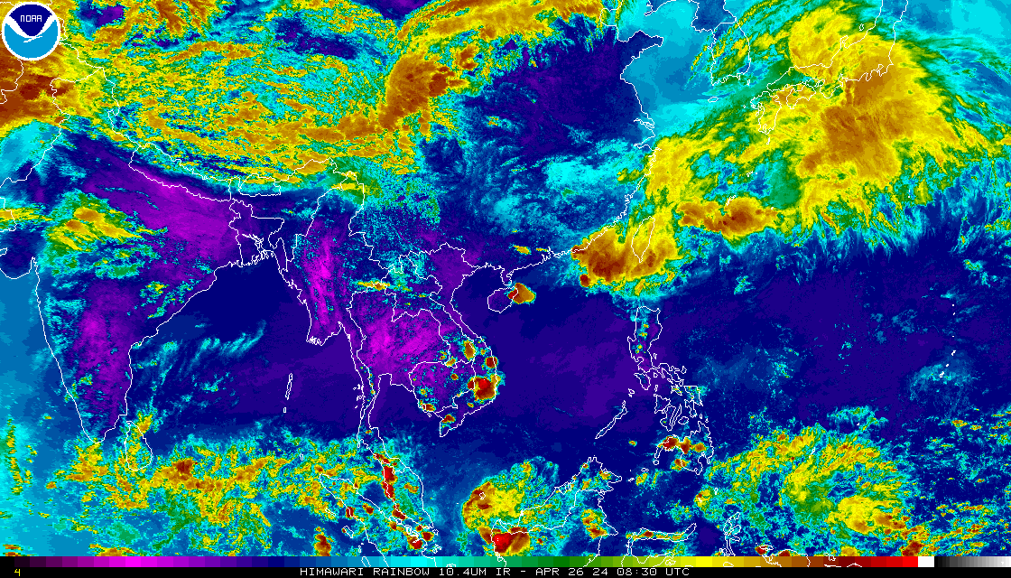
HIMIWARI-8 Imagery - 30 Minutes xx00z, xx30Z Imagery available about 25 minutes later. |
|
| HIMAWARI Imagery | ||
| Single Image | Image Loops (Toggle Lat/Lon) |
|
| With Lat/Lon | Without Lat/Lon | HTML5 |
| Visible | Visible | Visible |
| Shortwave (IR2) | Shortwave (IR2) | Shortwave (IR2) |
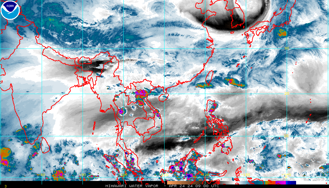
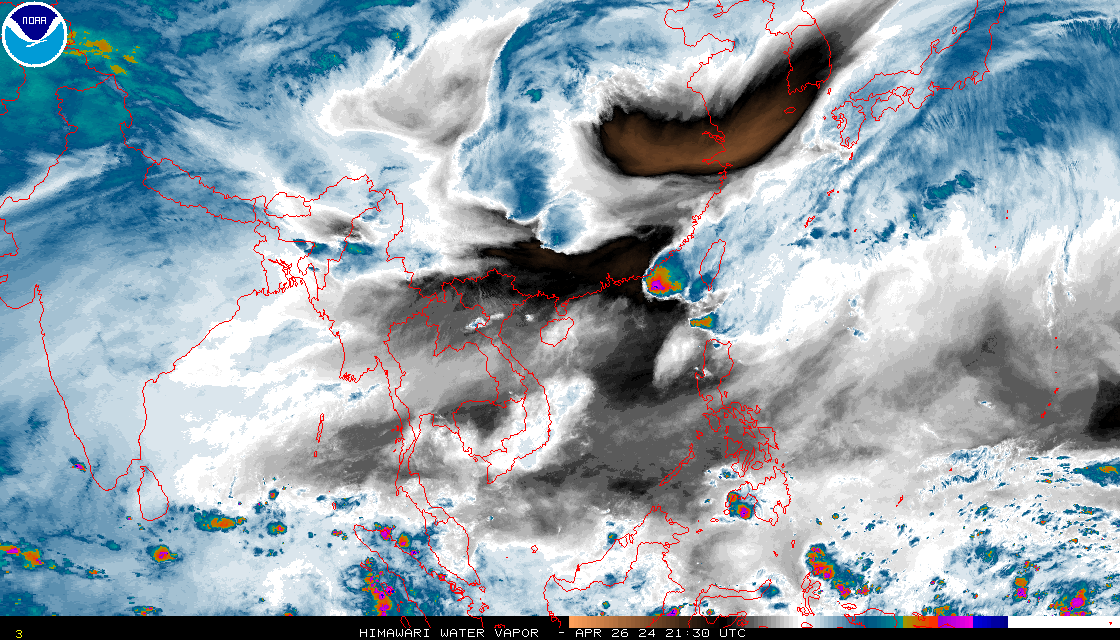
| Water Vapor (IR3) | Water Vapor (IR3) | Water Vapor (IR3) |
| Infrared Channel 4 Enhancements | ||
| None | None | None |
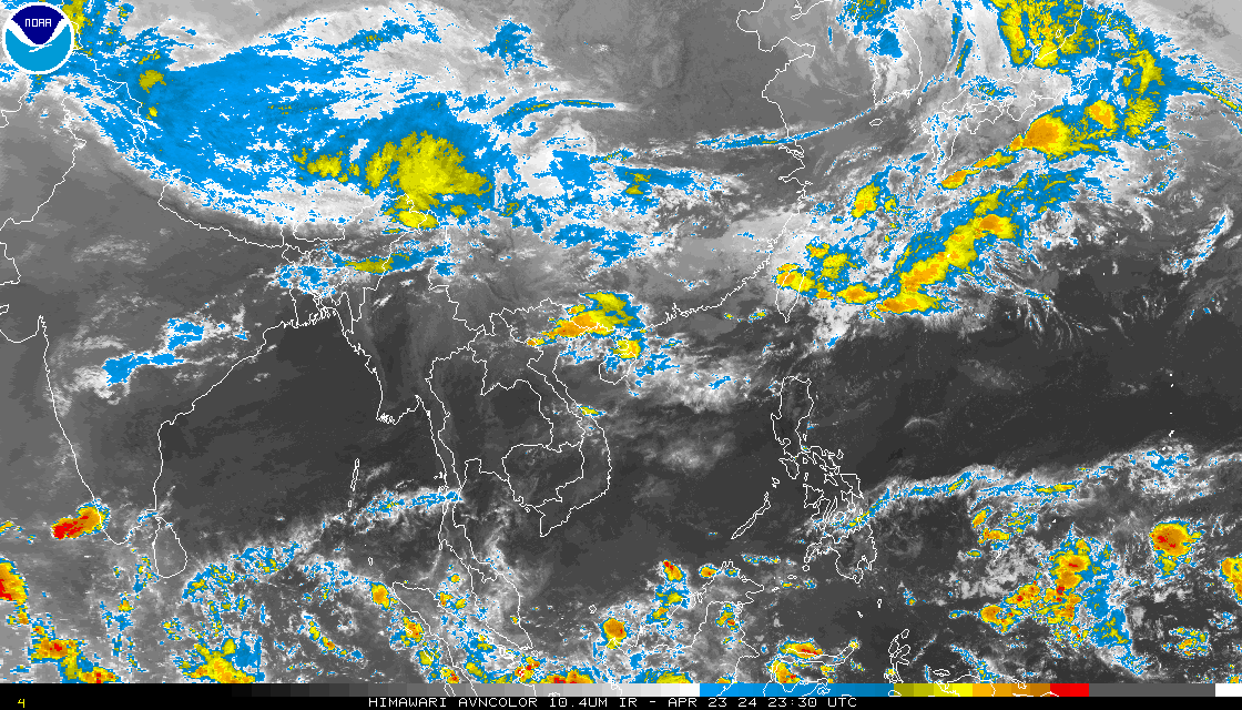
| AVN | AVN | AVN |
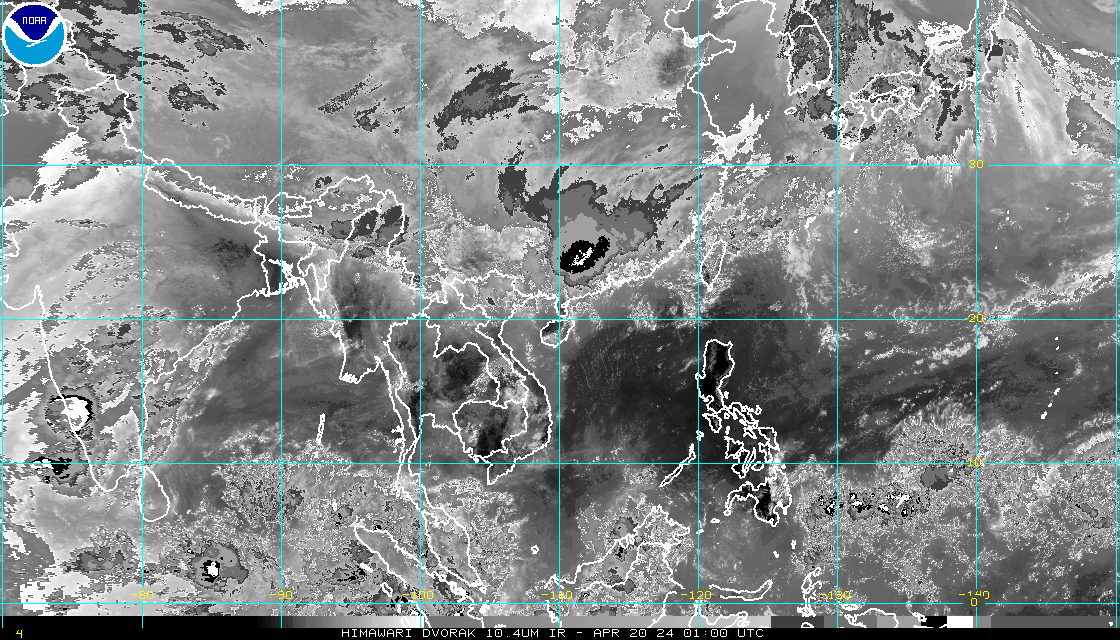
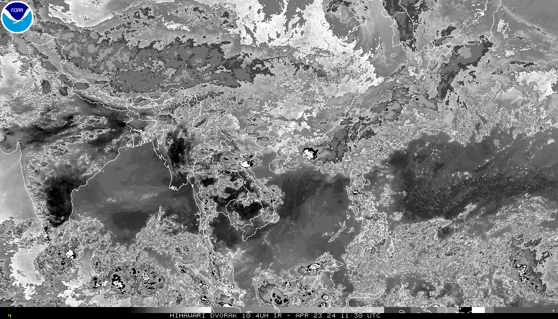
| Dvorak | Dvorak | Dvorak |
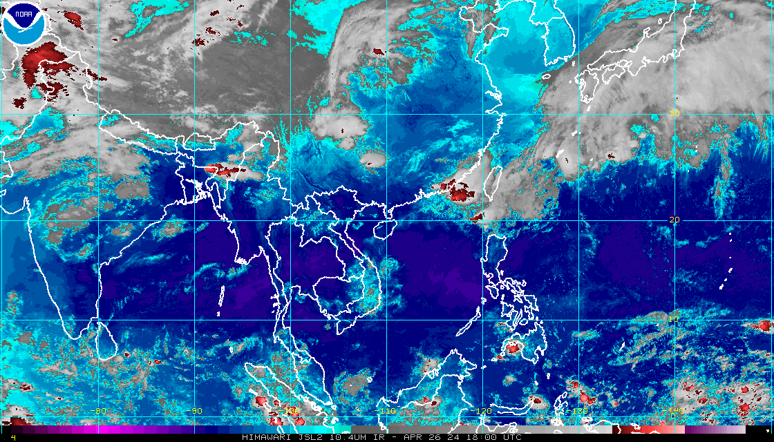
| JSL | JSL | JSL |
| RGB | RGB | RGB |
| Funktop | Funktop | Funktop |
| Rainbow | Rainbow | Rainbow |
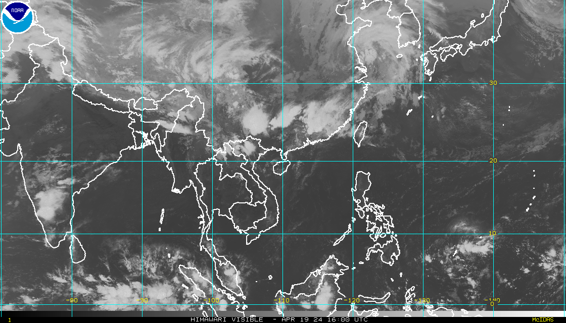
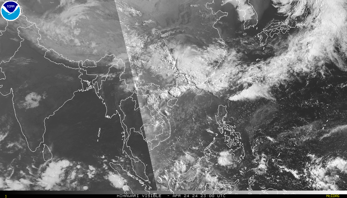
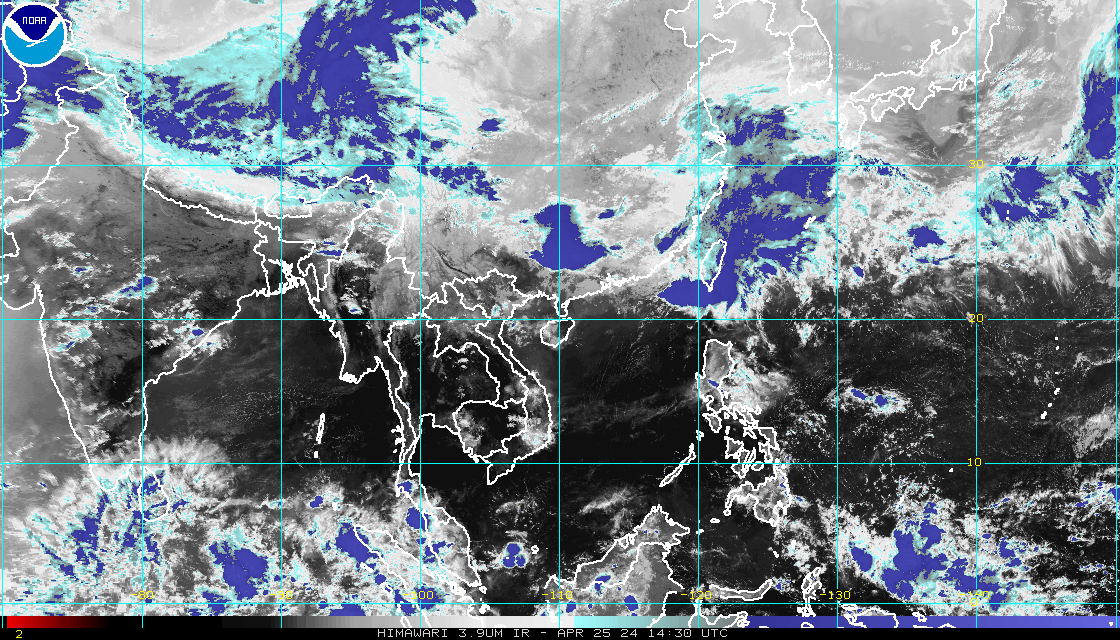
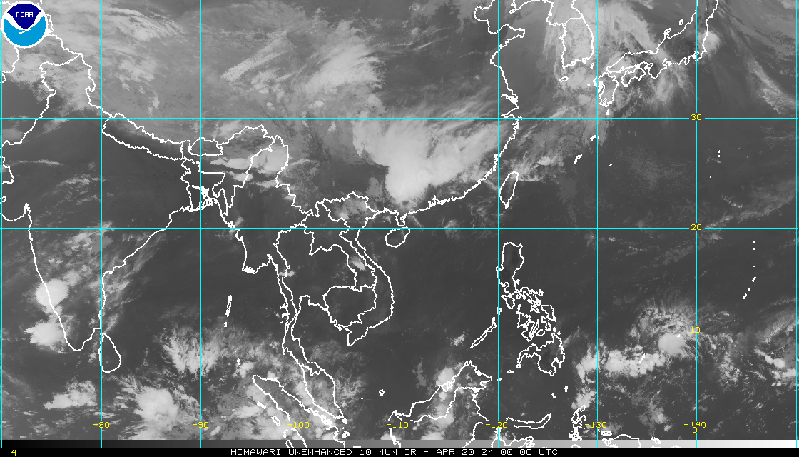
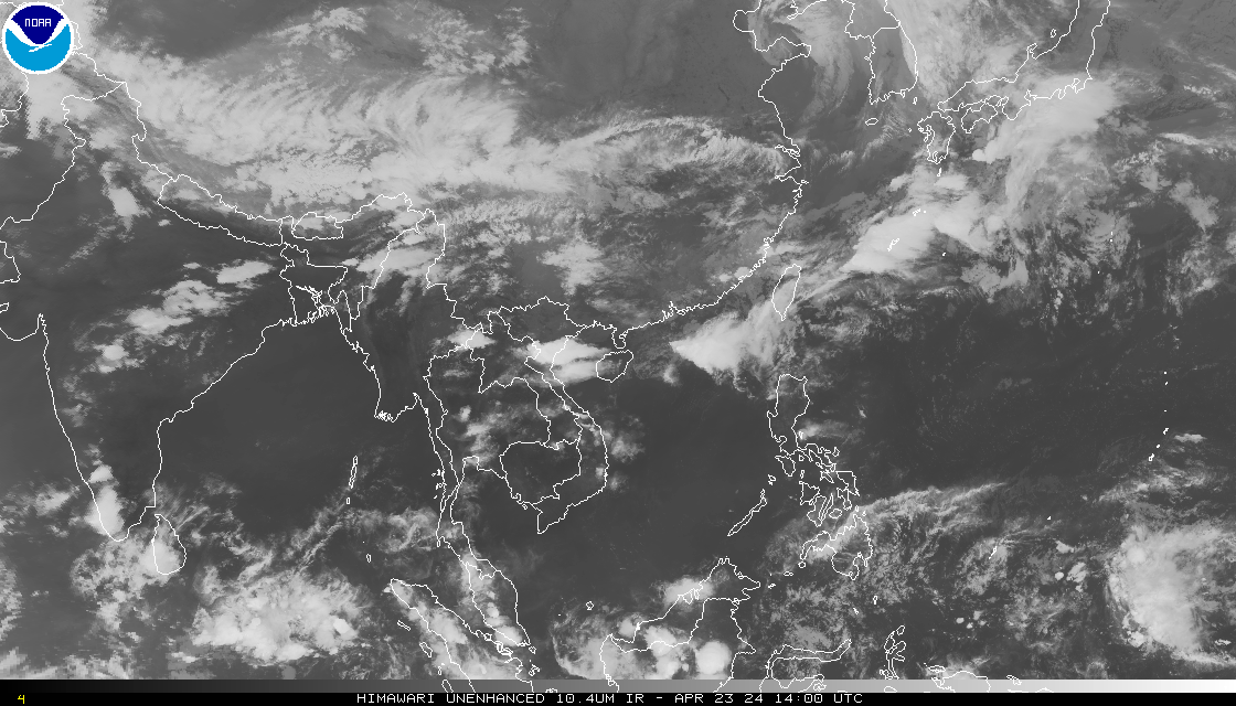
Himawari-8: This imagery is now being generated from Himawari-8 data modified to be emulate the MTSAT imagery previously found on these pages. Our source for this data is not operational and is not 24/7. We will make every effort to keep it available. If you need operational data, please see our Policy on Access and Distribution. More information on the Himawari-8 data is available from the Meteorological Satellite Center (MSC) of JMA.